In 2026, researchers studying 38 state-run protected areas in South Africa’s Cape Floristic Region found something that should trouble anyone who relies on a scorecard to know whether conservation is working. They compared standard management effectiveness indicators before and after a widely used decision-support framework was applied. Overall scores rose, driven by higher scores for inputs and outputs such as staffing and completed plans. The indicators that described the land itself, including its vegetation, soil and ecological condition, told a different story: they declined.
The gap between the two sets of numbers is not a one-off anomaly. It runs through the entire architecture the world relies on to judge whether forest and landscape management works, from strict protected areas through logging concessions to industrial plantations. The most widely used global framework for this kind of assessment, developed by the World Commission on Protected Areas of the International Union for Conservation of Nature (IUCN), names six things a proper evaluation should track: context, planning, inputs, process, outputs and outcomes. Only the last describes what happened on the ground. The other five describe the setting, plans, resources, processes and products, and decades of accumulated evidence show that most evaluation activity stops well short of that final step. A global compilation of more than 8,000 protected area assessments published in 2010 found the strongest scores clustered around legal establishment and boundary marking, the easiest things to verify on a form, while resourcing and management effectiveness evaluation ranked among the weakest.
The scale of what gets missed becomes clear once outcomes are measured against a real counterfactual: what would have happened without the intervention. When researchers matched Costa Rica’s protected forests against comparable unprotected land to evaluate the country’s renowned park system over nearly four decades, they found that the conventional reporting methods still common in global biodiversity accounting overstated the forest actually saved by more than 65 percent. A hectare legally designated as protected is not the same evidence as a hectare still standing. The gap between the two is not a rounding error in a policy that now underpins much of the world’s conservation finance.
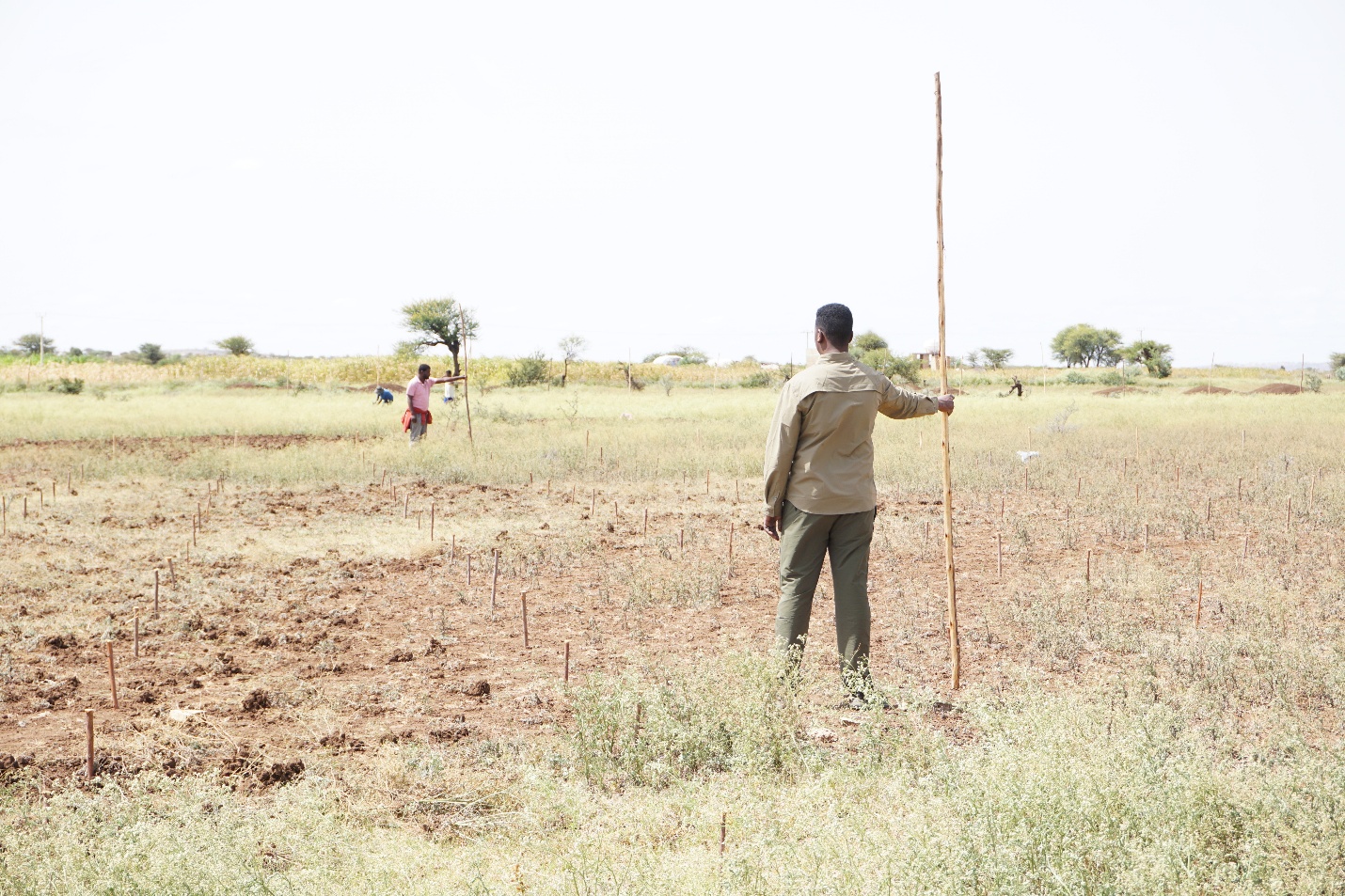
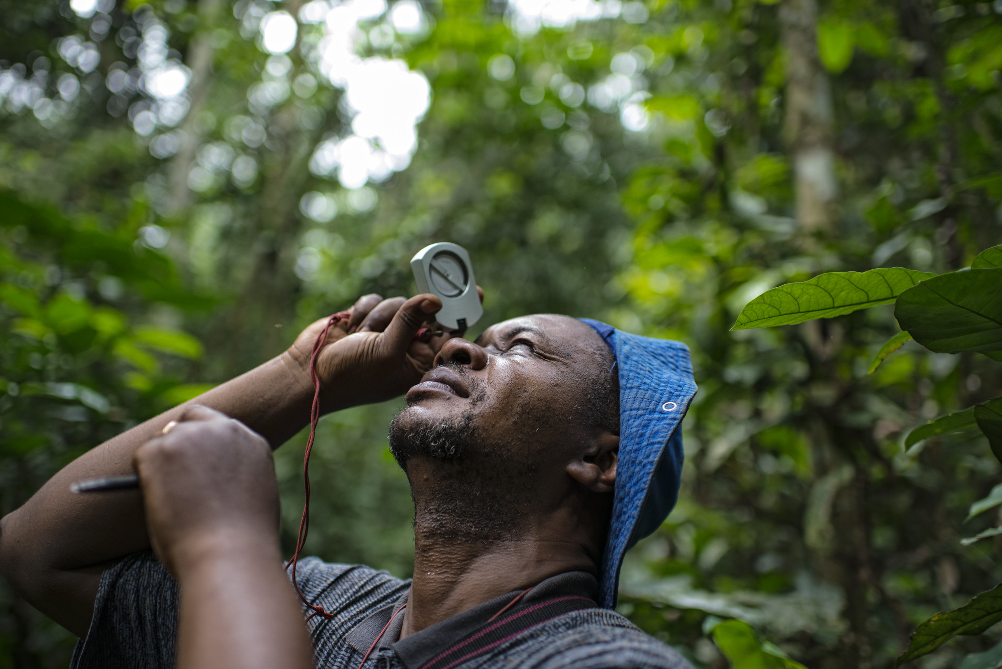
Closing that gap is, in a fairly direct sense, work Landscape Alliance already does. Among the clearest examples is the Land Degradation Surveillance Framework (LDSF). Rather than asking whether a management plan was written or a project completed, the LDSF measures the land itself through a standardized field protocol applied across 100-square-kilometre landscape blocks. It records vegetation structure and species diversity, soil carbon and water infiltration, degradation and recovery.
The framework has now been implemented in more than 40 countries, producing biophysical baselines for tracking the real effects of restoration and land management over time. These data can help prioritize interventions where they are likely to matter most.
Researchers collect soil samples using the Land Degradation Surveillance Framework in Malawi. Photo by Kelvin Trautman / Landscape Alliance.
“By providing consistent field measurements of soil health, land degradation and plant biodiversity, the LDSF helps identify priority areas for restoration, establish biophysical baselines, inform which interventions may be most appropriate and track changes over time in response to interventions,” said Leigh Ann Winowiecki, global research lead for soil and land health at Landscape Alliance.
Those field measurements can also support wider mapping. “Building on LDSF field data, an analytical framework has also been developed that uses remote sensing and machine-learning algorithms to generate predictive maps of soil and land health. This allows, for example, soil erosion and soil organic carbon to be assessed and tracked, informing how large-scale land restoration programmes target interventions and monitor their impact,” said Tor-Gunnar Vågen, principal scientist of the Spatial Data Science and Applied Learning Lab at Landscape Alliance.

Photo by Deanna Ramsay / Landscape Alliance.
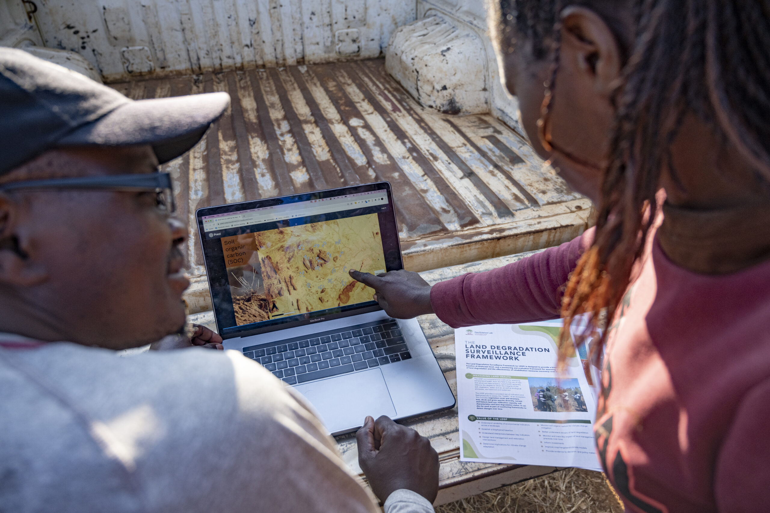
Photo by Kelvin Trautman / Landscape Alliance.
A parallel effort runs through Landscape Alliance’s Global Comparative Study on reducing emissions from deforestation and forest degradation (GCS REDD+), now in its fourth phase after 26 years of tracking results-based forest carbon finance on the ground. The study helped Viet Nam build a monitoring and evaluation mechanism for its nationwide payments for forest environmental services scheme, giving the national programme a way to track forest condition rather than simply report activity.
Since 2018, it has also tracked jurisdictional-scale reducing emissions from deforestation and forest degradation (REDD+) progress across 39 jurisdictions in 12 tropical countries, producing evidence that informed decisions about finance at that scale. More recently, researchers working with Brazil’s Federal University of Minas Gerais built interactive deforestation and carbon emission simulators for Brazil, the Democratic Republic of Congo, Indonesia and Peru, allowing policymakers to compare what is happening on the ground against a modelled counterfactual: what forest loss and emissions would look like if national deforestation control plans were fully enforced rather than partially applied.
Carbon has, by this measure, matured furthest. In October 2024, the Green Climate Fund adopted a policy to pay REDD+ results-based payments into its regular programming, moving the system from pilot to standing policy. For the 2024-2027 programming period, the fund set the price at USD 8 per metric tonne of carbon dioxide equivalent for eligible emission reductions achieved between 2018 and 2022. But forest carbon remains the only dimension of this problem with a workable outcome metric already in place. Biodiversity, water and the well-being of the people living in these landscapes still lack equivalent measurement systems. They are still mostly reported the old way: through inputs and activities that are easy to count rather than the conditions that are hard to change.
To address these challenges, the Landscape Alliance applies the Land-Use Planning for Multiple Environmental Services (LUMENS) approach, implemented in more than seven countries. It uses spatial modelling to compare conventional growth with low-carbon, biodiversity-positive and water-positive land-use scenarios, assessing impacts on economic performance, greenhouse gas emissions and ecosystem health.
The approach supports subnational green growth planning through three principles: inclusive, by engaging stakeholders and addressing tenure and community priorities; integrative, by linking development, conservation and spatial planning; and informed, by using evidence and trade-off analysis. The resulting strategies are mainstreamed into government plans, programmes and budgets to support long-term implementation.
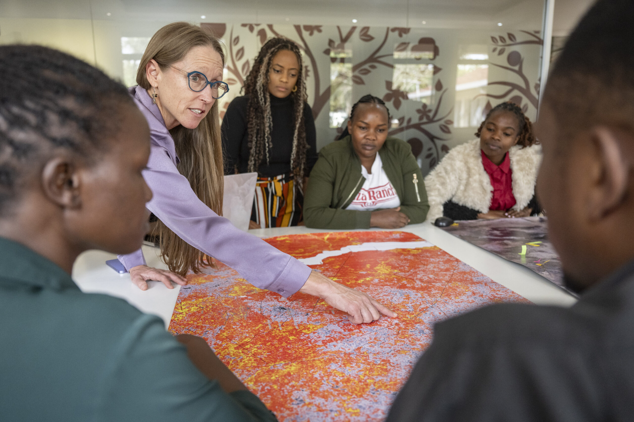
That gap will only matter more over the next decade. Landscape Alliance has set itself a 2035 target of restoring 15 million hectares of degraded land and supporting resilient livelihoods for 20 million people, alongside emissions reductions equivalent to 500 million tonnes of carbon dioxide. Whether those figures end up describing land that is measurably healthier, or simply land where an activity was recorded as complete, depends on whether outcome measurement of the kind the LDSF, the GCS REDD+ scenario tools and LUMENS-Green Growth Planning represent, spreads across the rest of this work or stays confined to these two examples.
Thirty years into the era of criteria, indicators and certification, the instruments needed to close this gap exist, and Landscape Alliance’s own research is proof of it. Whether the next decade of forest and landscape finance actually puts them to use, results-based, outcome-based or simply better funded, or keeps rewarding the scorecard instead of the forest, is not yet decided.
Further readings
- Born in the Sahel, now global: A soil assessment method reshaping restoration science
- Sowing the seeds of transformative agriculture: The Gambia’s journey to soil security
- Jurisdictional REDD+ in theory and practice: Opportunities and risks for Indigenous Peoples and local communities in three initiatives