

Twenty years ago in Mali, Tor-Gunnar Vågen and colleagues began experimenting with a methodology to assess and map soil and land health; today, that early work has amplified into a framework with myriad applications for restoration across landscapes.
The rapid upscaling of the Land Degradation Surveillance Framework (LDSF) – in both volume and new directions – still surprises its creators, including Vågen, co-developer of the method and senior scientist heading the Spatial Data Science and Applied Learning Lab at the Center for International Forestry Research World Agroforestry (CIFOR-ICRAF).
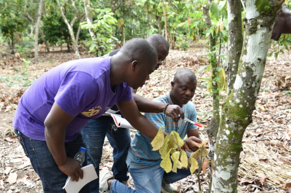
“We found a balance between something that is robust and fairly comprehensive in terms of the indicators and the data that is collected, but also practical and doable by anyone, with simple equipment,” Vågen said ahead of World Soil Day 2025, marked annually on 5 December to highlight the importance of healthy soil and to advocate for the sustainable management of soil resources.
“I think that’s part of why the LDSF has been successful.”
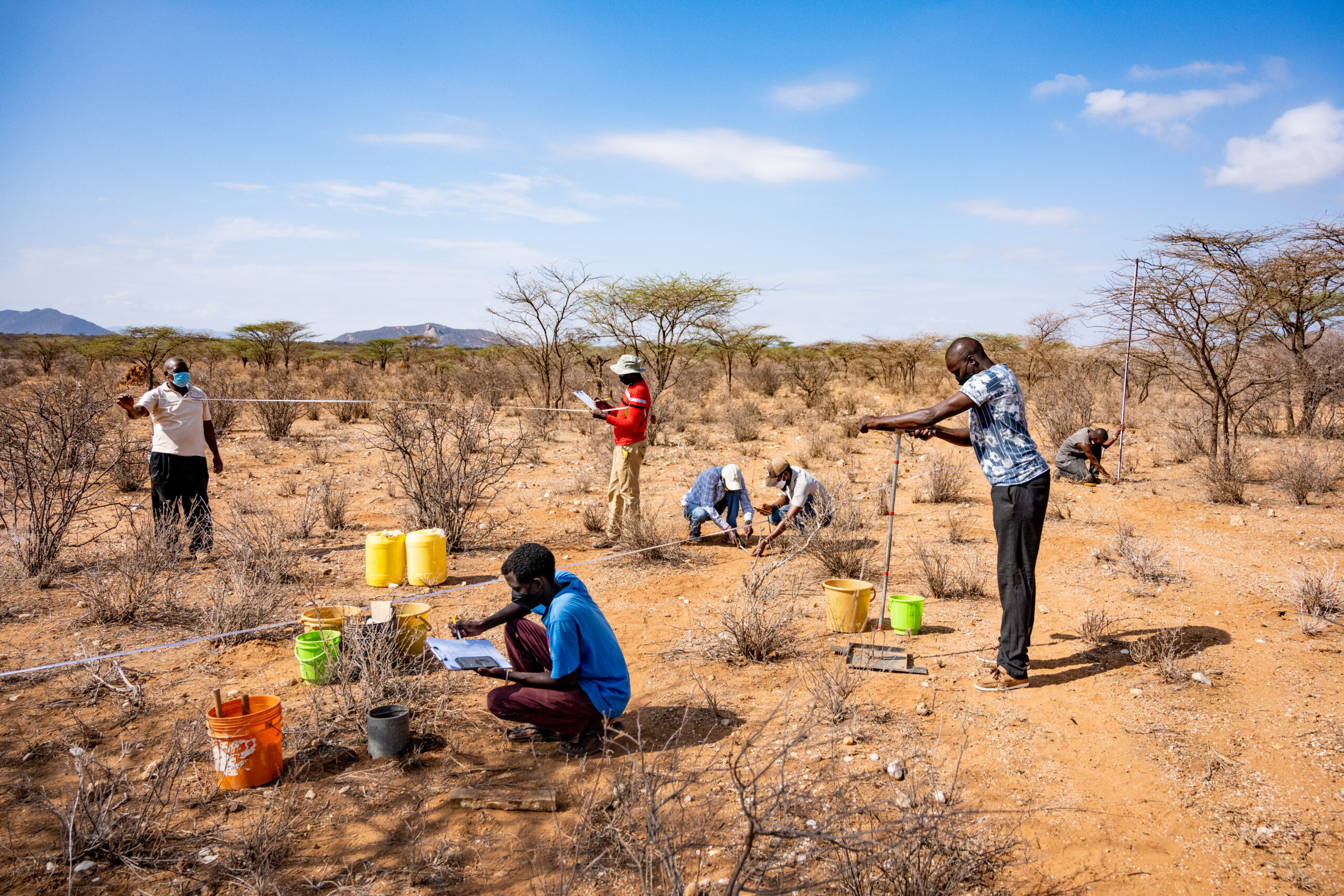
Acacia-dominated rangeland in northern Kenya, where LDSF assessments help track vegetation structure and land degradation.
Photo by Kelvin Trautman / CIFOR-ICRAF
That success reflects not only the tool’s adaptability, scalability and reliable data, but also the rising global demand for science-based evidence to assess and monitor soil and land health across an extensive range of landscapes and ecosystems, including farmlands, rangelands, grasslands and forests.
As ecosystems degrade across the planet, the LDSF’s combination of systematically collected biophysical measurements and remote sensing has become essential to designing restoration efforts that work. “It’s really important that we understand the state of soil, the state of land, the state of our ecosystems to get at the drivers of degradation,” said Leigh Ann Winowiecki, global research lead for soil and land health at CIFOR-ICRAFand co-developer of the LDSF. “Without this information, we’re working blindfolded.”
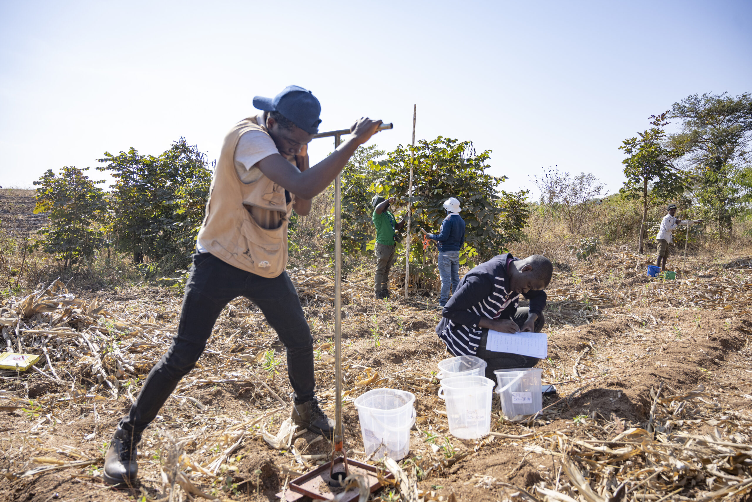
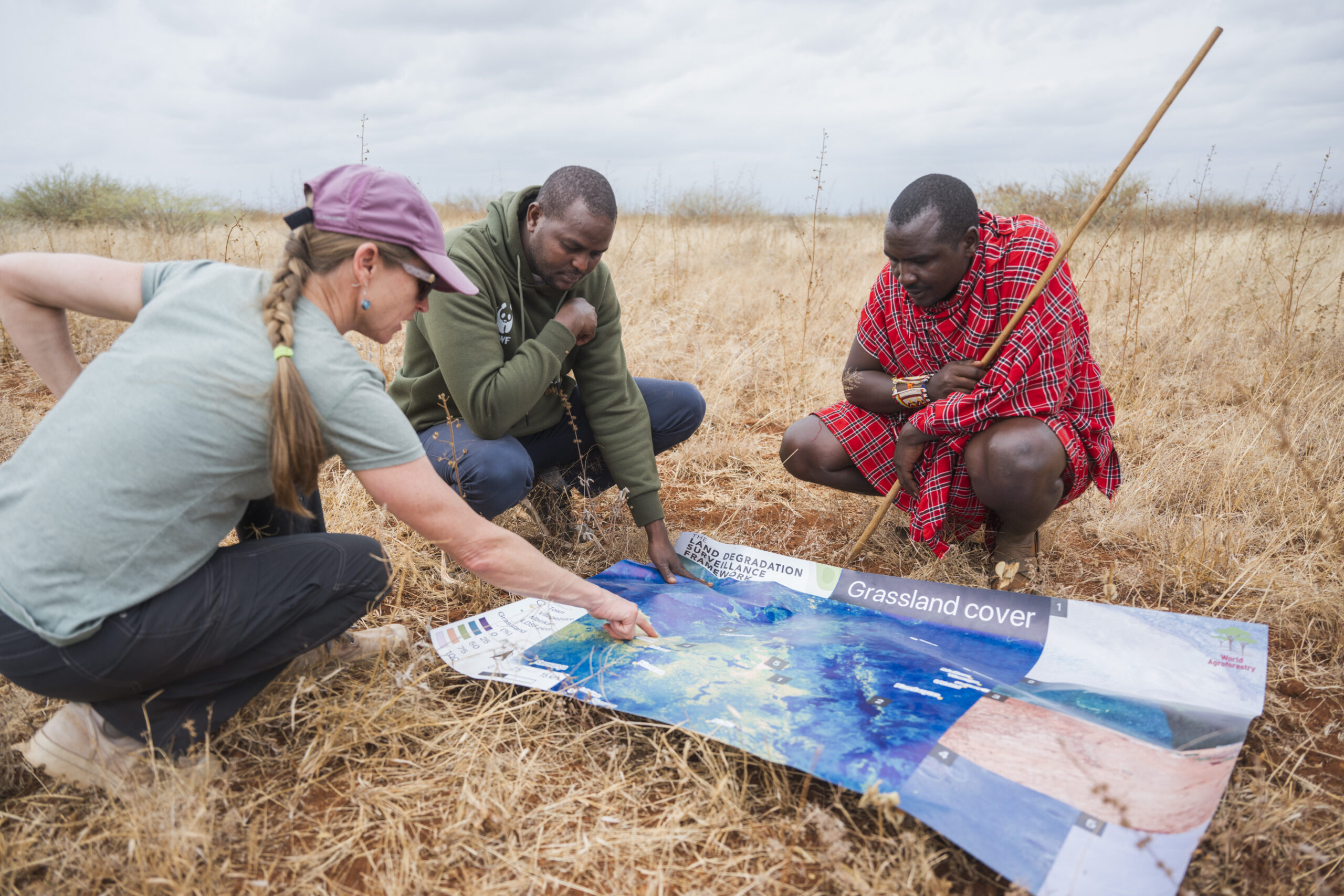
Designed to be both scientifically rigorous and practical in the field, the LDSF is now implemented with partners in more than 45 countries. Its accessible design helps users identify the drivers and dynamics of land degradation and translate complex datasets into actionable decisions.
“With the data we have today, policymakers can make smarter choices – deciding how best to use limited resources to maximise efficiency,” said Bertin Takoutsing, Land Health scientist with CIFOR-ICRAF in Cameroon. “It is about making better decisions about where to go, what practices to implement, and which areas should be prioritised — identifying the true hotspots of land degradation.”
The LDSF database now includes about 49,000 plots and 140,000 soil samples, expanding every year. Its robust sampling design reduces bias and ensures high-quality data, supported by advances in laboratory soil analysis (such as spectroscopy), remote sensing and predictive modelling.
Its applications span scales. An atlas of the Sahel, for example, produced the first 500-metre-resolution continental maps of key soil properties across Africa. Rangeland datasets are expanding rapidly, too, with more than 170,000 observations from transects feeding into the 2025 rangeland module.
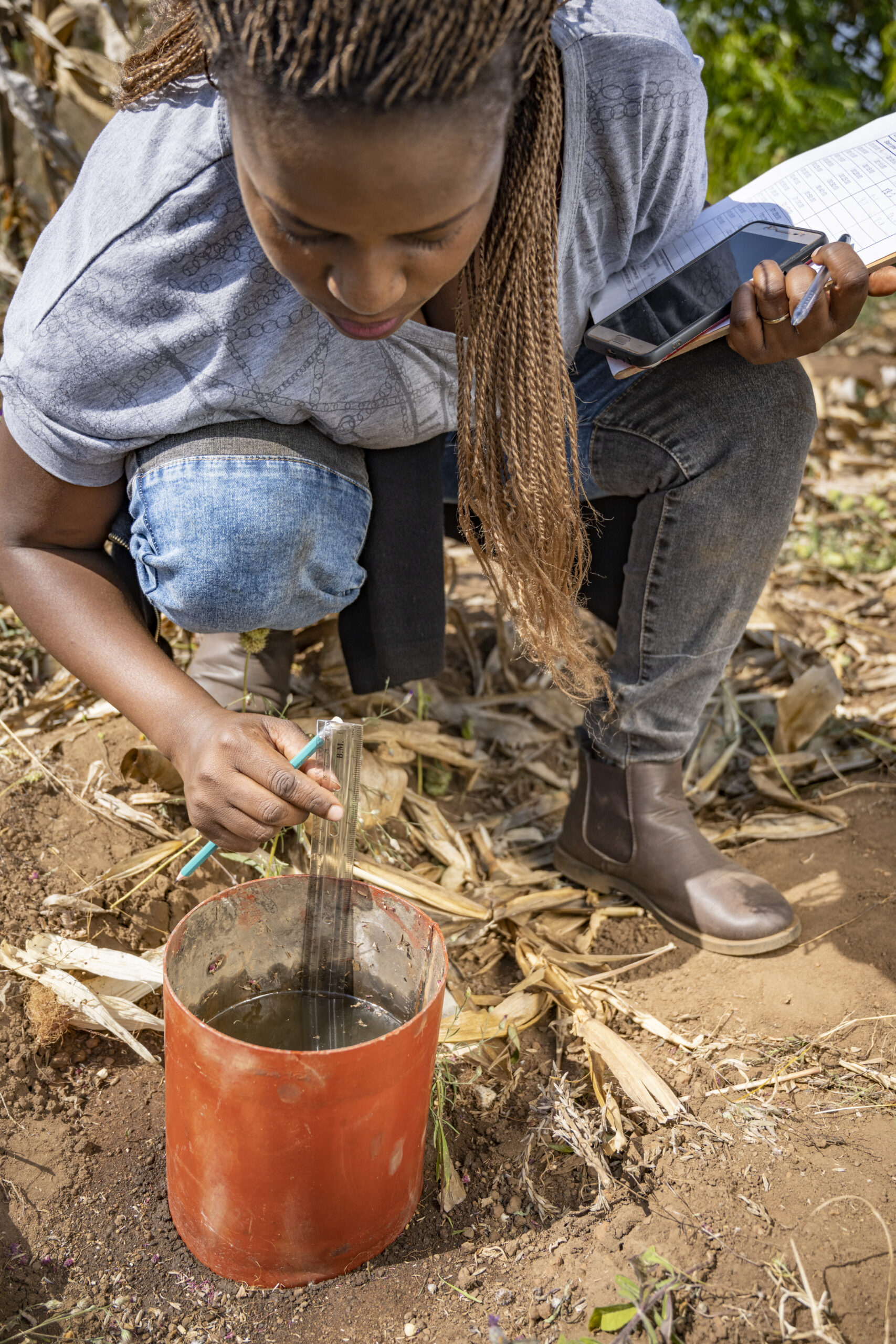
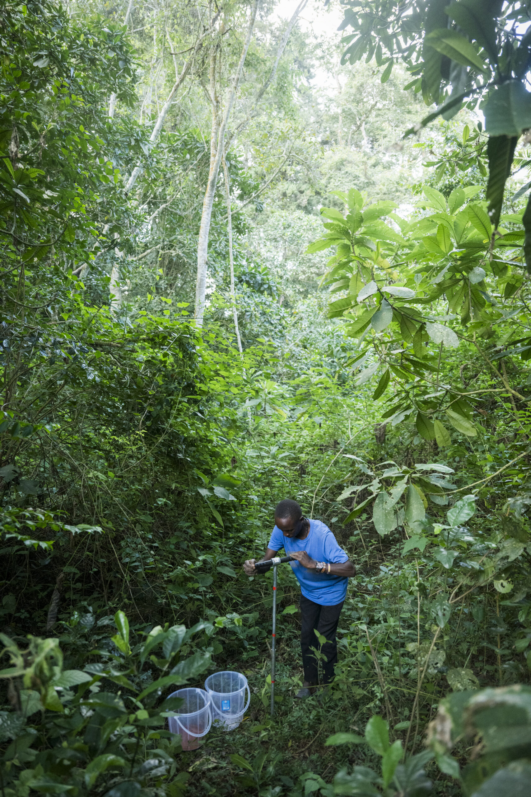
For soil scientist and ecohydrologist Aida Bargués Tobella of Agrotecnio-CERCA Centre in Spain, the LDSF’s strength lies in the way it links the fine details of soils to global patterns of land degradation. “At first, it can be hard to see the big picture of the LDSF,” she said. “You see results from your site, and that’s already valuable. But what’s even more powerful is that your site becomes part of a global network.”
With every new dataset added, she said, “predictions for these indicators become more accurate, data analysis becomes richer, comparisons across sites become possible, and the value of the dataset keeps growing.”
“LDSF provides a very unique data set that no one else offers, and users can be certain that the data has been collected and analysed in a consistent manner.”
Her work on soil infiltration capacity across sub-Saharan Africa relies heavily on LDSF datasets, which she described as “very unique” in their consistency and breadth. “As far as I’m aware, no other dataset brings together such a comprehensive set of indicators.”
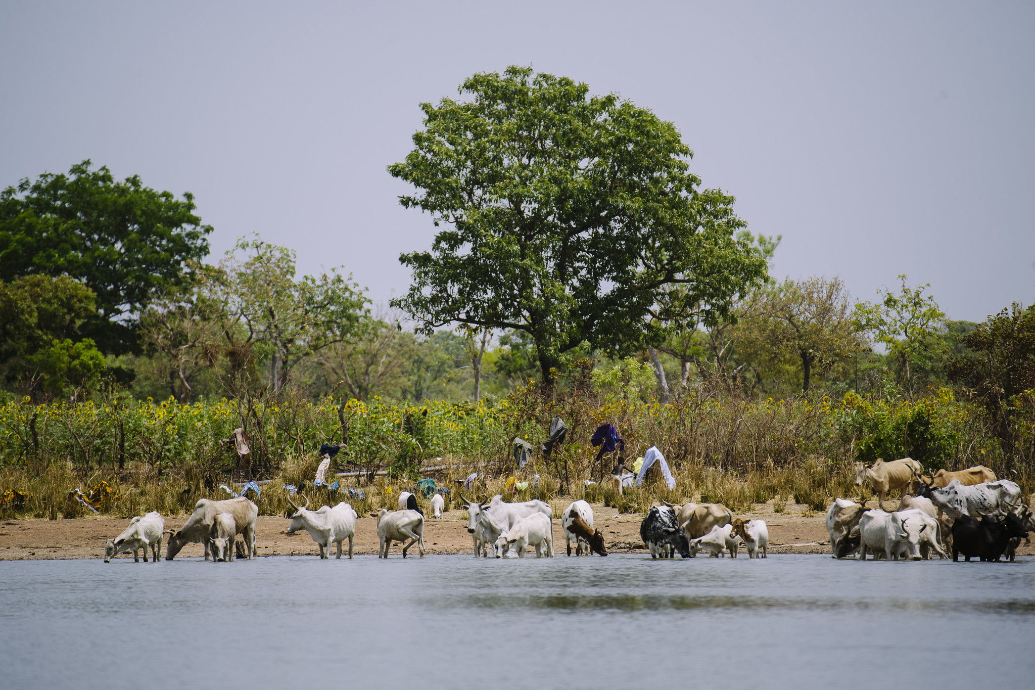
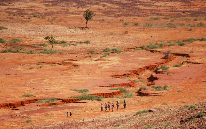
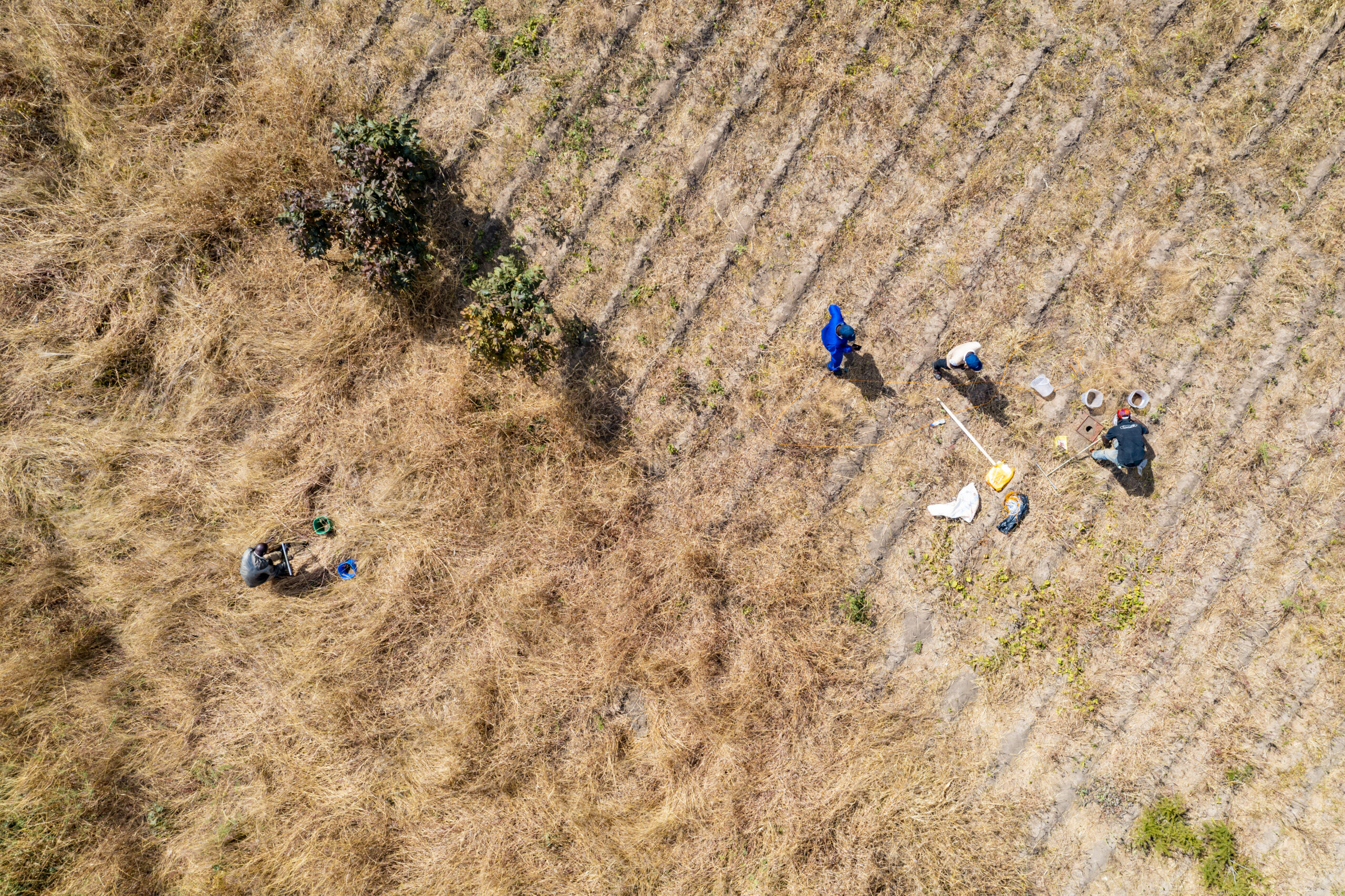
Rangeland mosaic in northern Kenya showing vegetation patterns captured through landscape-scale soil and land health surveys.
Photo by Kelvin Trautman / CIFOR-ICRAF.
These indicators include vegetation cover and structure; diversity of tree, shrub, forb and grass species; current and historical land use; prevalence of soil erosion; soil infiltration capacity; and a wide range of soil physical and chemical properties, including pH, texture and soil organic carbon.
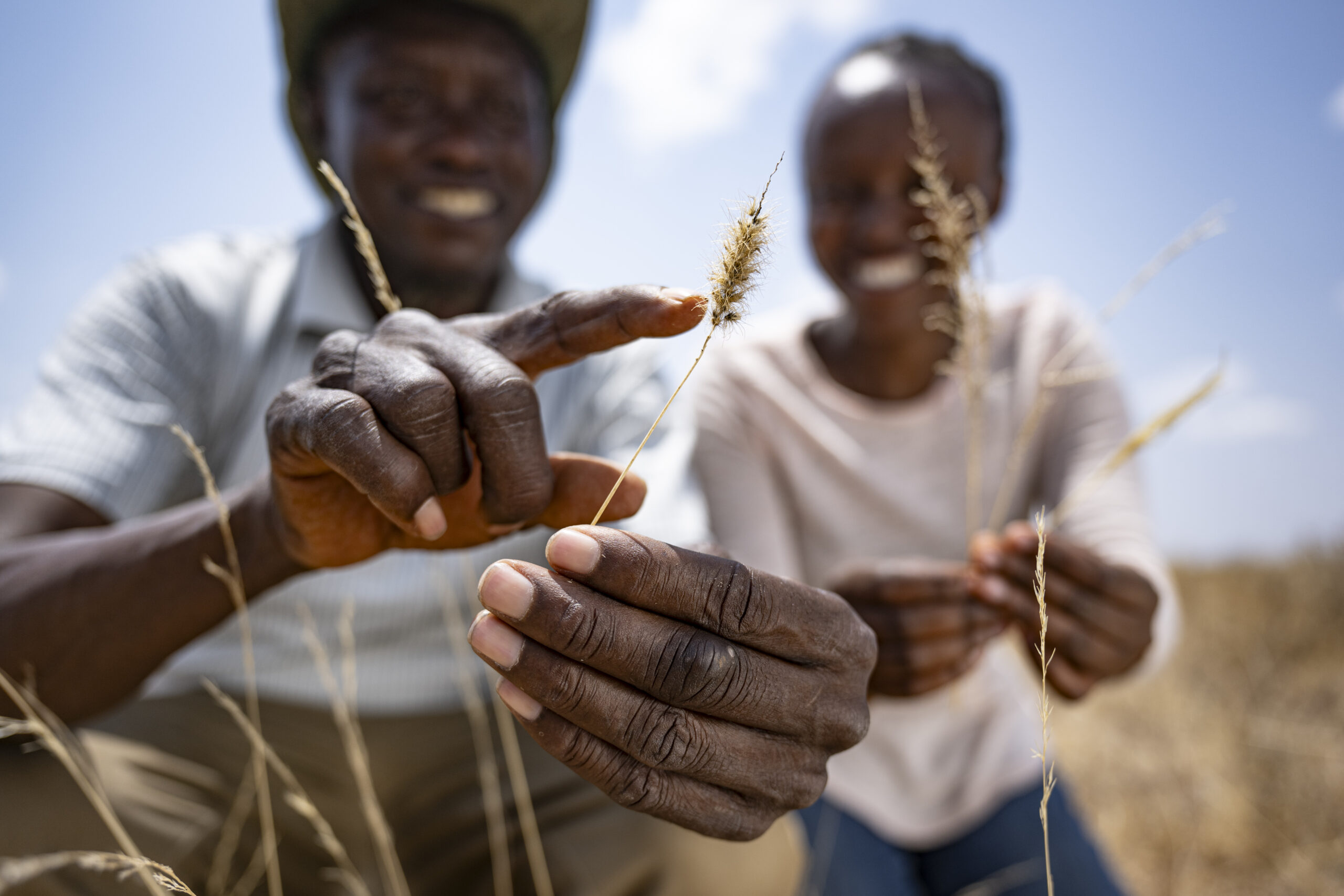
The uses of LDSF data continue to expand beyond what its creators envisioned in 2005. “People are now adding modules for gender studies, for example, or using the predictive maps to look at interactions between soil and land health and socio-economic factors, human health and climate change,” said Vågen.
Capacity development is now a central part of LDSF’s work.
In the Gambia, a three-year soil health initiative is training national experts to use LDSF methods to develop detailed soil maps for evidence-based decision-making.
In Sri Lanka, asix-year initiative is applying the LDSF across diverse ecosystems to support watershed management. Across East Africa, a growing network of rangeland monitoring sites is encouraging data-driven restoration and sustainable management. Aninitiative launched in Lesotho is now expanding to countries including Kenya, Tanzania, Uganda, Rwanda and Ethiopia.
LDSF’s credibility is also drawing interest from companies and sustainable finance initiatives seeking reliable ways to measure soil carbon and support climate mitigation efforts.
“Evidence-based decision-making is essential, at the policy level, at the implementation level and for financing,” said Winowiecki. “If we can provide better estimates of soil health, including carbon storage in a certain landscape, that helps de-risk investments.”
World Soil Day is celebrated annually on 5 December to focus attention on the importance of healthy soil and to advocate for the sustainable management of soil resources. The 2025 theme, “Healthy Soils for Healthy Cities,” will focus on urban soils, highlighting the role of sustainable soil management in supporting resilient cities, biodiversity and food security.