
This is the third in a three-part series examining conservation on Papua New Guinea’s Managalas Plateau. The first two instalments covered the launch of a broad-scale biodiversity mapping project and a conversation with biologist Gabriel Leite on using bioacoustics to track elusive species.
Finding out what’s in a forest is never just an academic process. It’s also a practical and physical challenge, as the scratches all over senior landscape ecologist Rhett Harrison’s legs attest.
Sitting on suitcases in the Landscape Alliance’s new Port Moresby office (it’s so new the furniture is yet to arrive!), Harrison recounts his recent trip to the Managalas Plateau in Oro Province, where the organisation is supporting community management of the Managalas Conservation Area (MCA), which protects 214,696 hectares of tropical forests and grasslands. “This is a very difficult rainforest to move around in,” he says. “It’s tough going.”
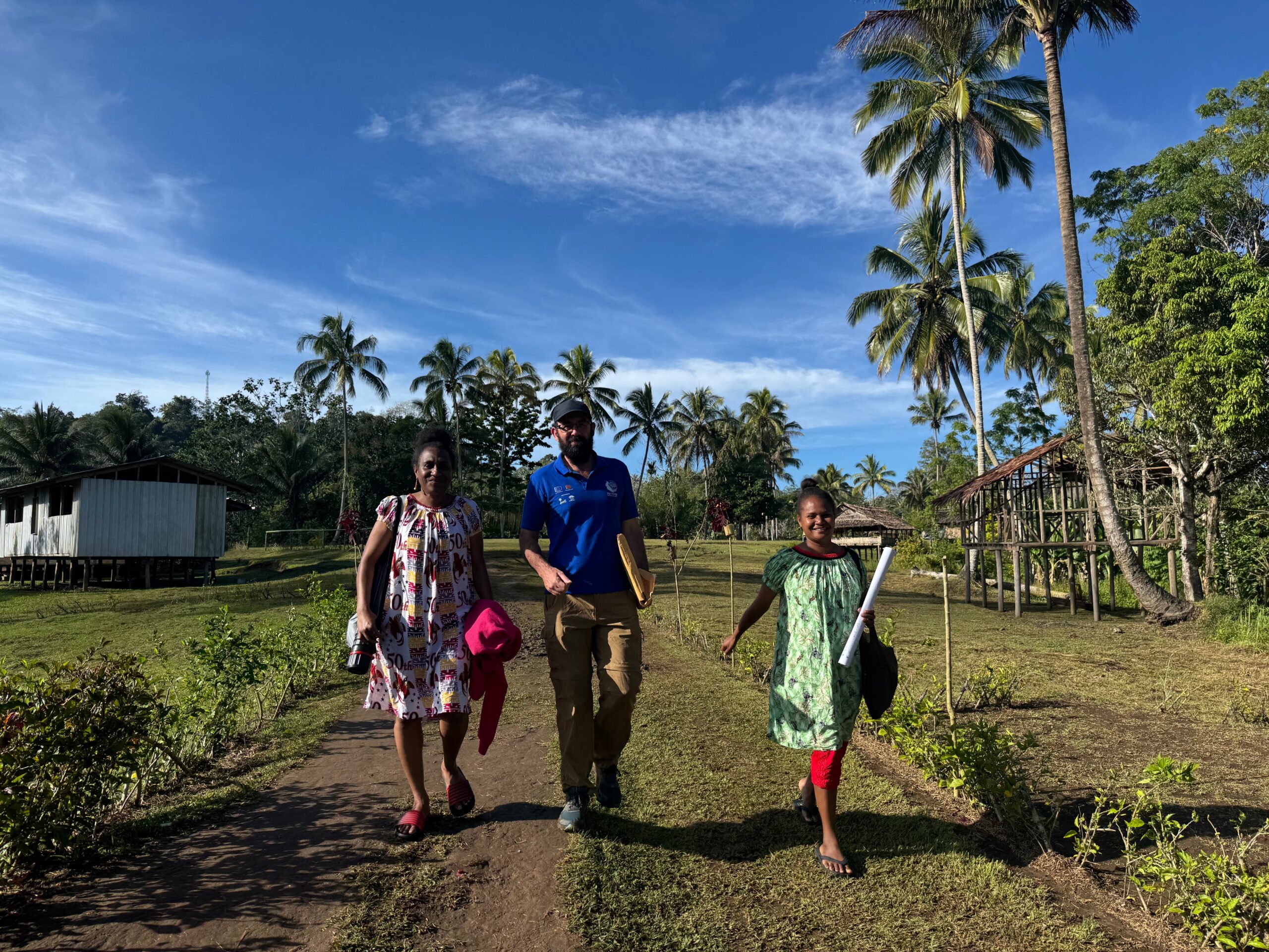
Harrison’s trip was focused on setting up camera traps and sound recorders to gather baseline wildlife data, alongside a group of young local Biodiversity Team Leaders (BTLs) who have been trained to deploy devices and conduct surveys in their own land.
First, the team chose 18 sites to set up monitoring stations, using a process called stratified random sampling. They drew a grid of points across the plateau, categorised each point on it according to one of three elevation bands and one of two underlying geology types (making six categories altogether), and then randomly selected three grid points for each of the six categories. Each point then became the corner of a 3-square-kilometre grid with 49 stations at half-kilometre intervals.
A sound recorder on a tree. Photo by Russell Wai / Landscape Alliance
So far, so straightforward — but the deployment process was another story. The team pulled on their boots and headed out to set up monitoring stations at four of the grids. Out in the bush, they discovered many things that the maps had missed. The last install was “one of the hardest days I’ve ever had,” says Harrison. After hiking in along a village trail for a few hours with all their camping gear, they set up camp at the edge of the grid and then set off to deploy the camera traps and sound recorders.
“It looks flat on the map because there are not too many contours, but in fact it’s a series of small streams running off a slope,” says Harrison. “Each little valley is only maybe 20 or 30 metres difference in elevation, but you’re just constantly climbing up and down these very steep banks, over and over and over and over again.”
A tropical storm had also come through recently, meaning “there were fallen trees all over the place and we had to cut our way through,” says Harrison. “Just to go the three kilometres across the site took us almost three hours.” They set up just three of the seven traps they were aiming for that day, and then had to return to their camp and come back again the next day.
The experience got Harrison wondering if he might be ageing out of this kind of fieldwork.
“When we started the mapping, I was like, ‘I really want to do that.’ Now, after that experience, I’m thinking maybe it’s a bit much — I’m no longer 25!” he laughs. He wasn’t the only one who found it tough, though. The BTL who came with him coped OK, “but the two people from the local village who came with us were in full mutiny!” he laughed.
You might think those locals would know the landscapes like the palms of their hands, but all forest here has its owners, and most people here just know specific parts of their clan’s land — usually a select few hunting spots. “They don’t tend to go off the trails very far; they’re not going out there exploring,” said Harrison.
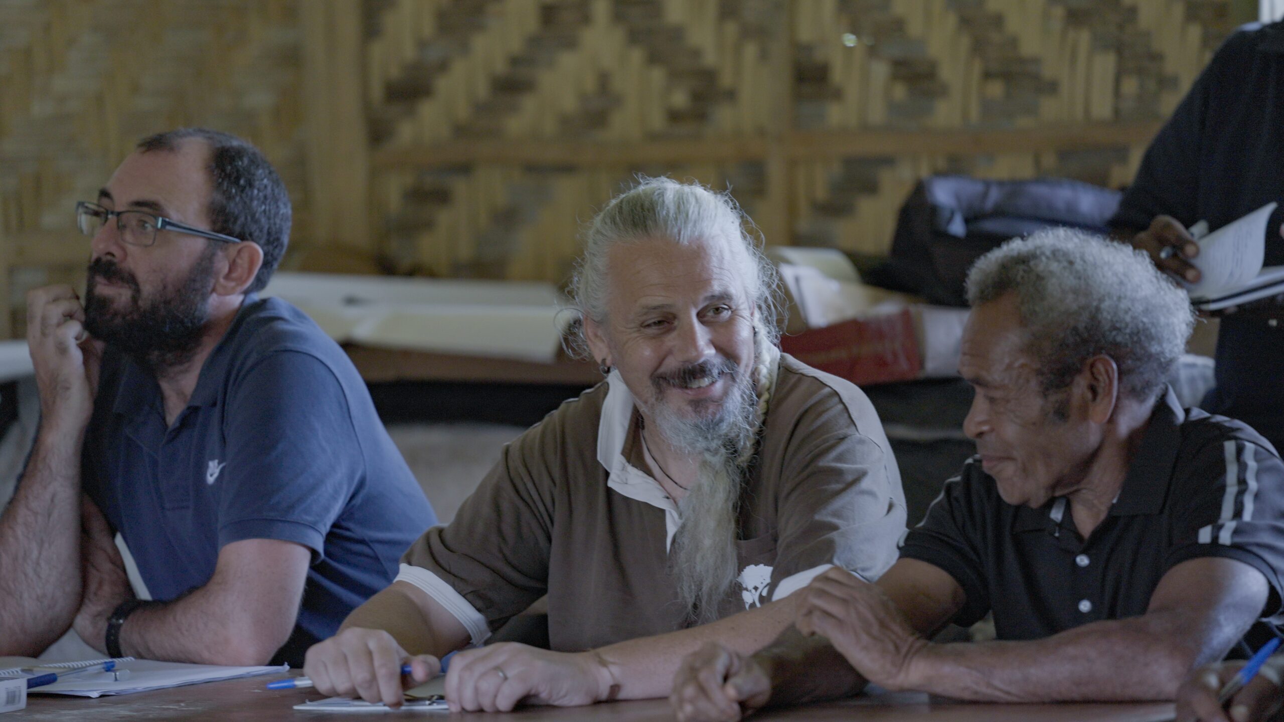
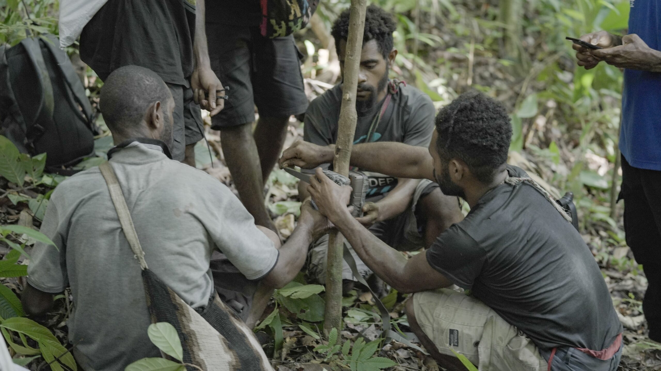
Photo by Russell Wai / Landscape Alliance
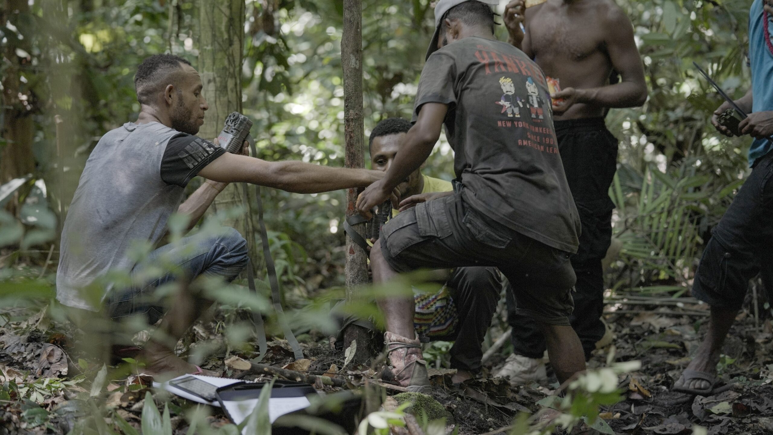
The BTLs’ work was facilitated by cell phones: they record their movements on one app, and the installation and recovery of the instruments on another, and they have to follow the GPS compass to get where they’re going. “It requires a few skills to get it done,” says Harrison.
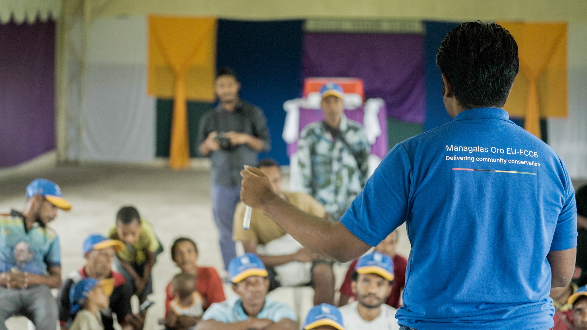
Motivation, however, was high. “These BTLs are among the most committed, conservation-minded young people on the plateau,” says Harrison. “And that reflects all the work that previous NGOs did in terms of education. They also have a really clear idea of what the communities need in return for gazetting their land as a nationally recognized Protected Area, so they’re very valuable team members.”
One practical challenge is setting up the camera traps to capture wildlife well in rugged terrain.
The BTLs were trained to focus the cameras on the ground about 4.5 metres in front of them, but when a site is steep, it’s hard to work out optimal positioning. “It’s actually quite challenging,” says Harrison: “the setting of the camera trap is the main determinant of how much you’re going to see, and that’s going to change every time.”
The sound recorders, which help to identify the presence of animals that make noise, are more straightforward to set up. They’re collected after just two weeks of recording, in contrast to the camera traps, which are left out for four. This reflects the sheer volume of information the audio devices collect.
“You generate terabytes worth of data, so data management becomes a real headache if you leave them out for longer — and the science suggests that the extra time does not lead to better estimates of the diversity of species,” says Harrison. “The camera traps need to be left out for longer, because they are recording information less often — only when an animal walks past”.
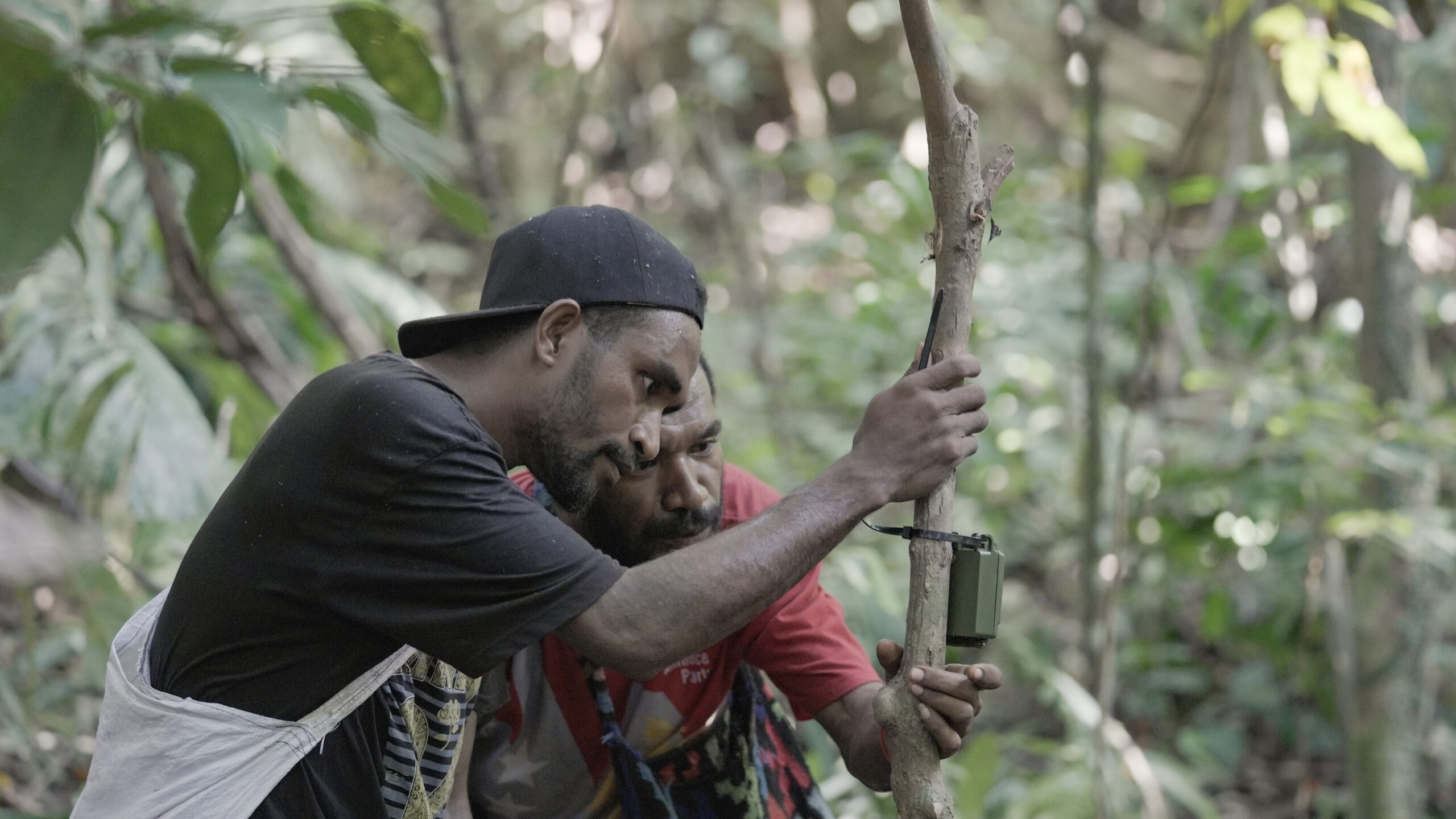
The team still has 10 of the 18 grids to set up, with progress in some places hindered by land tenure disputes and vandalism. Some of the more isolated sites in the high mountains surrounding the plateau, which entail 45-degree slopes and extremely thick forest, may require supply drops by air.
They’ve also recognized the need to get areas scouted by locals before the team goes in, to find the easiest ways to get there and avoid entering or going near sacred sites. “If you can access a grid via a village trail, it cuts your time to do the work massively compared to trying to cut your way through the forest,” says Harrison.
While challenging, the work has yielded lots of interesting findings so far. In just the first week of operations, two endangered giant bandicoots (Peroryctes broadbenti) were caught on camera, alongside snakes, frogs, possums, forest wallabies and more.
The team have also taken preliminary eDNA samples from water bodies in some of the sites, which will help bring further insights into MCA’s vast and largely untracked biodiversity.
Sampling streams also captures DNA washed into the streams, so eDNA is a good way to record those species that are missed by camera traps and sound devices, such as tree kangaroos or other arboreal species that rarely call.
“Incrementally, we’re getting a better picture of the flora and fauna of the plateau,” says Harrison. “We’re still missing a lot, but we don’t need everything: what we’re trying to get is a good-enough picture that we can use it as a baseline and for spatial planning in the conservation management plan.”
For more information on the project, please contact Landscape Alliance’s PNG Program Manager, Will Unsworth: [email protected]