


Across the tropics, millions of rural families continue to depend on wildlife for food, income, and cultural identity. Yet unsustainable hunting practices — combined with habitat loss and forest degradation — are depleting wild animal populations and accelerating biodiversity loss. Conservation efforts must therefore balance community needs with wildlife protection, while ensuring that local people are at the centre of the process.
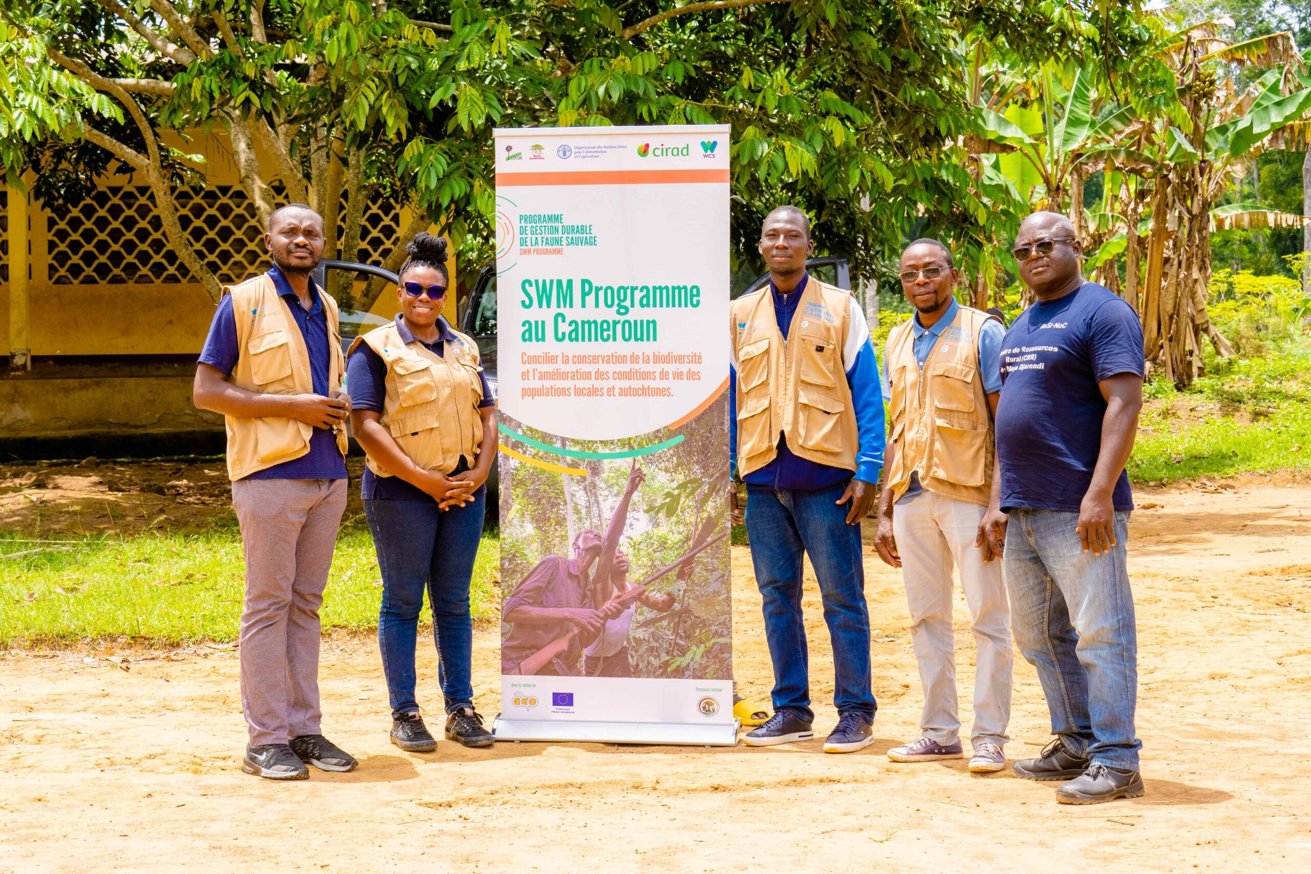
In southern Cameroon’s Mintom region, the Sustainable Wildlife Management (SWM) Programme – Cameroon project is putting this principle into practice through Community-Based Hunting Management (CBHM). The model gives local communities both the authority and the responsibility to manage wildlife, building on their deep and long-standing relationship with the forest.
By helping communities define hunting rules, monitor species and share benefits, CBHM supports food security while improving conservation outcomes. It moves people beyond consultation and into active stewardship. Communities take part in setting and enforcing hunting regulations, monitoring wildlife populations and managing the benefits derived from sustainable use. In that sense, they become real custodians of the forest, helping ensure hunting practices support both people and wildlife over time.
Mapping knowledge, strengthening stewardship
At the heart of this approach is participatory mapping, a collaborative process through which communities draw on traditional knowledge and lived experience to create detailed maps of their territories. These maps identify hunting areas, resource zones and cultural landmarks, ensuring that management decisions reflect local realities and priorities.
Participatory mapping not only generates spatial data that are accurate and locally relevant but also deepens community ownership and stewardship. When people see their knowledge represented and respected, they become more committed to protecting their environment.
“When communities have a stake in the conservation of wildlife, they are more likely to take measures to prevent poaching,” said Guillermo Ros Brull, SWM-Cameroon site coordinator.
Building trust across communities
In southern Cameroon, participatory mapping has already produced tangible results. Ten Bantu and two Baka villages, bringing together 345 participants — 209 men and 136 women — have jointly developed maps marking hunting areas for 20 communities. Beyond data itself, the process has created a platform for dialogue and negotiation between Bantu and Baka groups, helping build mutual understanding, shared decision-making and joint responsibility for managing community hunting areas.
That dialogue has not only strengthened local ownership and promoted social cohesion, but also improved collaboration between communities and government agencies.
“The participatory mapping exercise helped us to build trust between communities and government agencies by facilitating collaboration and information sharing,” said Ros Brull. “Working together, communities and authorities can develop effective strategies to combat poaching, improve law enforcement, and design alternative livelihood programmes.”
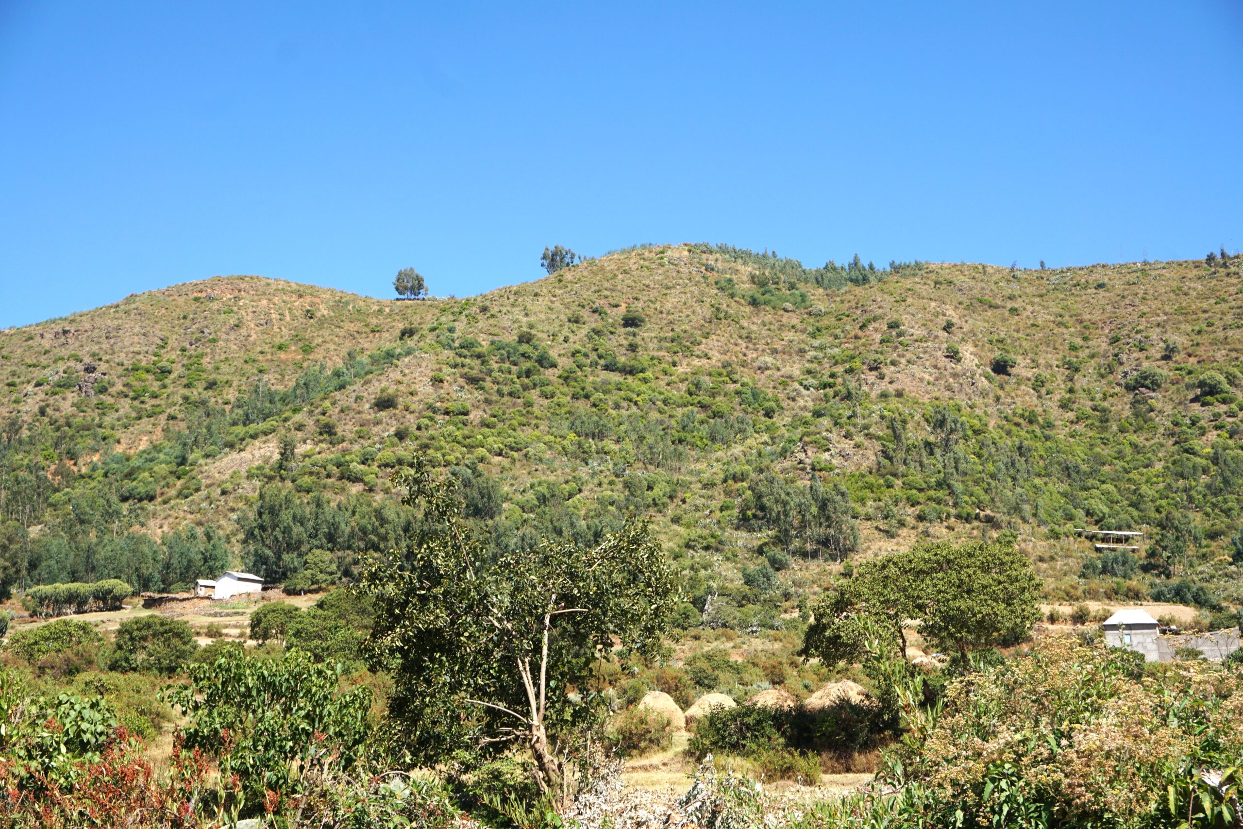
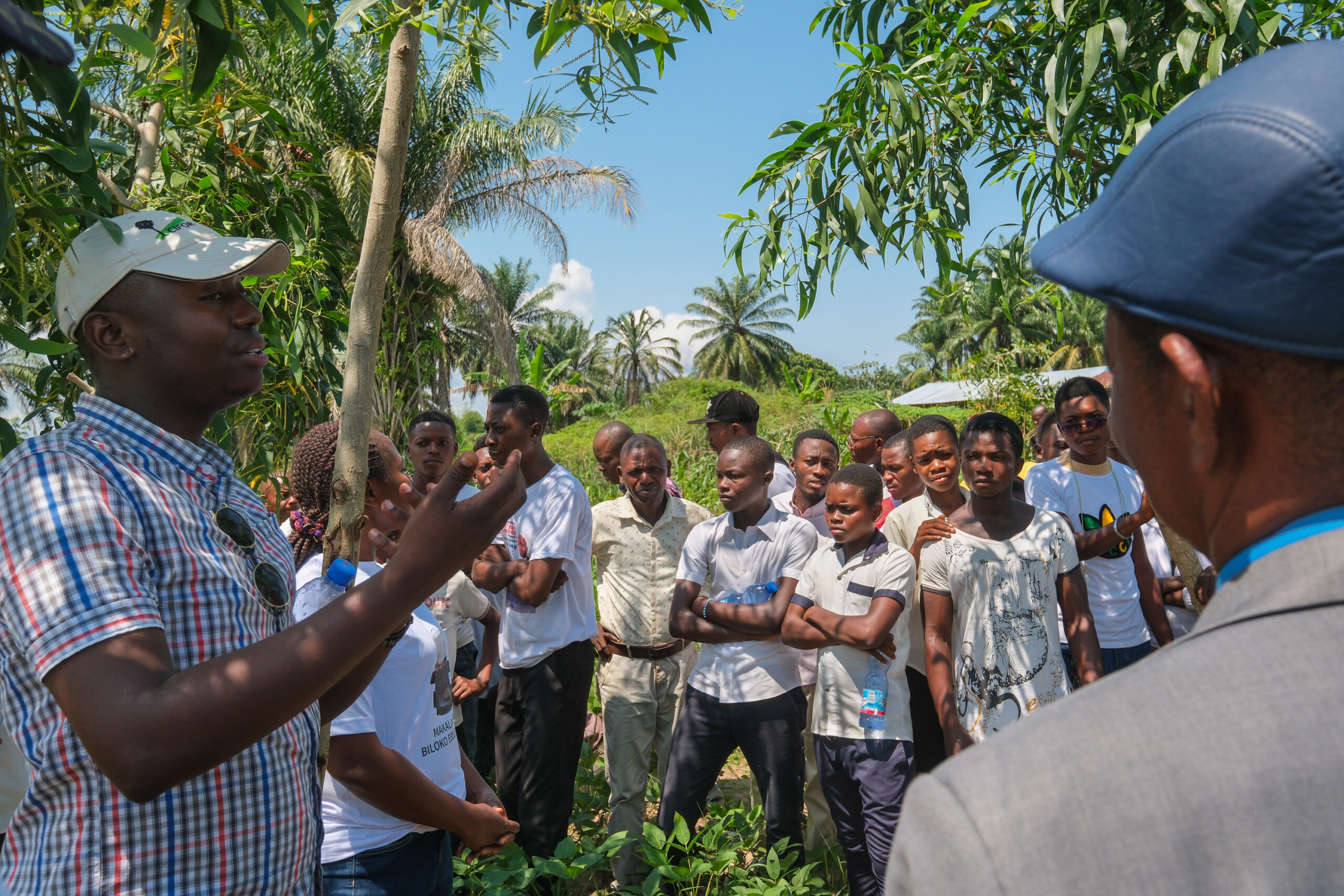
A community in southern Cameroon, where participatory mapping supports locally led wildlife management. Photo by CIFOR-ICRAF
All mapping activities have been carried out under Free, Prior and Informed Consent (FPIC) protocols, ensuring that communities approve each step of the process. Securing hunting zones for both Baka and Bantu groups also involves assessing levels of wildlife extraction. By comparing species richness and hunting data from community-managed zones with less-exploited areas in the Dja Reserve, researchers aim to understand both past and current impacts on wildlife populations.
“We aim to understand both past and present impacts on wildlife,” explained Ros Brull. “That evidence is key to designing realistic and equitable management plans.”
From participation to transformation
Participatory approaches, in which communities and other stakeholders jointly shape, implement, and evaluate initiatives, are essential for long-term success. Respecting all voices and perspectives helps foster inclusion and a sense of ownership, while strengthening trust, equity and collective responsibility.
In southern Cameroon, participatory mapping demonstrates that when communities lead, conservation gains are more enduring. With better access to information, stronger dialogue and recognition, local people are not just participants in conservation — they are helping shape a more sustainable future for both forests and wildlife.