

Africa’s protected areas – from national parks and wildlife sanctuaries to forest reserves, community conservancies and marine protected areas – are central to the continent’s development and the well-being of its people.
These landscapes safeguard biodiversity by protecting habitats, species and genetic resources essential for food security. They also support vital ecosystem services that many communities rely on for clean water supply, air purification, climate change mitigation, erosion control and pest and disease regulation.
Protected areas also support one of Africa’s most important economic sectors: tourism. According to the World Bank, every dollar invested in protected areas and nature-based tourism generates at least six dollars in economic returns.
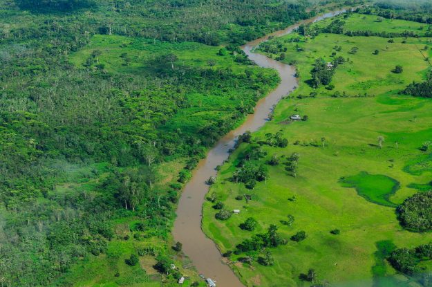
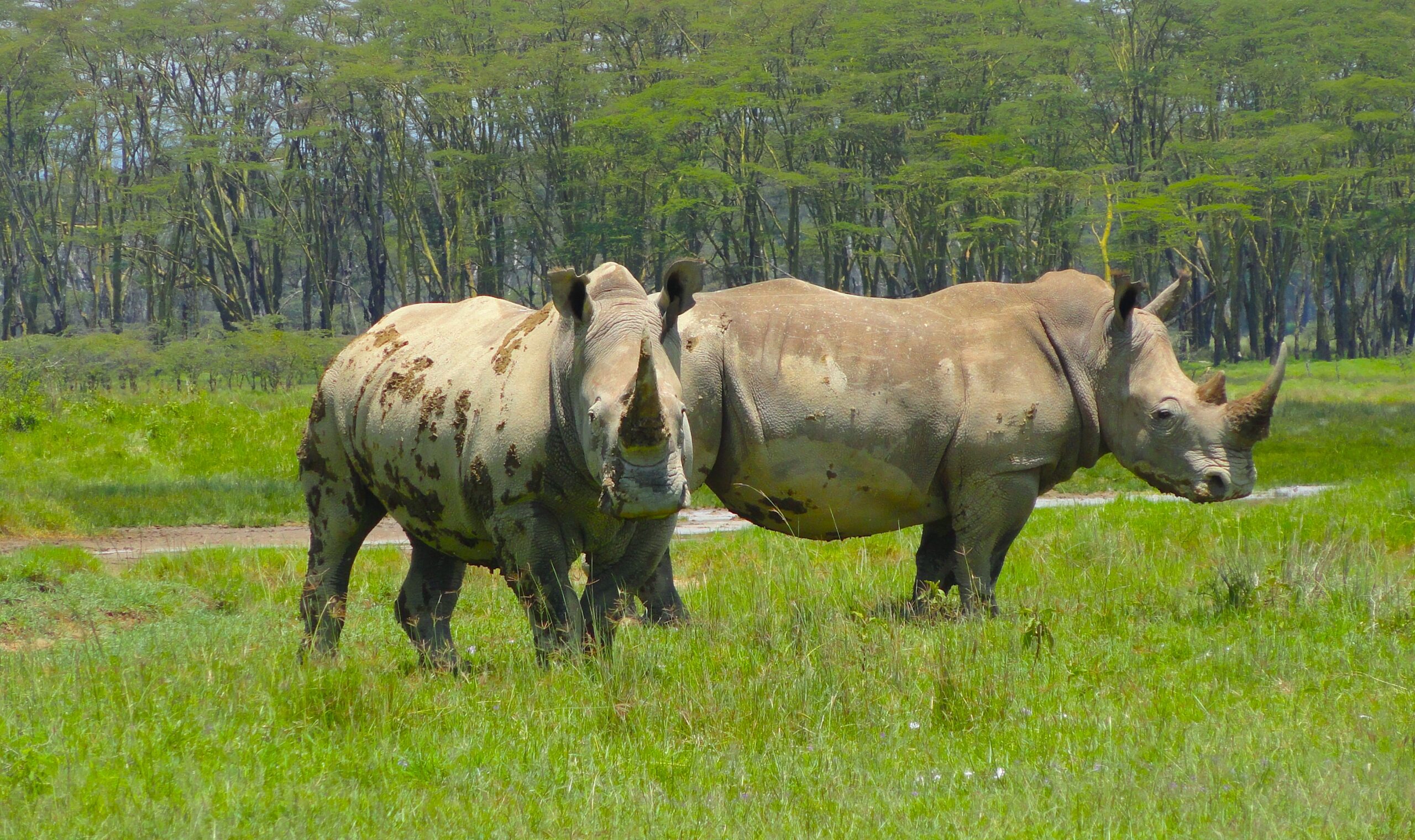
Protected areas, such as national parks, generate vital tourism revenue for countries. Protected areas, such as national parks, generate vital tourism revenue for countries. Photo by Kelvin Muchiri / CIFOR-ICRAF.
“Africa relies heavily on its natural resources to sustain livelihoods and spur development. To keep enjoying these benefits, we really need to protect the region’s ecosystems and biodiversity,” says Peter Minang, regional director for Africa at the Center for International Forestry Research and World Agroforestry (CIFOR-ICRAF).
For those working on the front lines of conservation, data is fundamental. Christopher Amudavi, a GIS specialist at the Regional Centre for Mapping of Resources for Development (RCMRD), puts it plainly: “They say that what you cannot measure, you cannot manage. We therefore need reliable data to work with,” he says.
Addressing the data gap
Through the Regional Centres of Excellence for Forests and Biodiversity (RCOE) initiative – funded by the European Union and implemented by CIFOR-ICRAF, in collaboration with RCMRD, the Central African Forest Commission (COMIFAC) and the Centre de Suivi Écologique (CSE) – partners are promoting the use of the Integrated Management Effectiveness Tool (IMET) to strengthen decision-making for protected and conserved areas.
IMET is a software-based decision-support tool that evaluates how effectively terrestrial and marine protected areas are managed, using the Protected Area Management Effectiveness (PAME) framework.
The tool is recognized by the International Union for Conservation of Nature (IUCN) as a useful reference for protected areas seeking to attain the Green List status, a global standard for excellence in conservation management.
Through IMET, managers can assess how effectively both terrestrial and marine protected areas are being managed. Photo by Kelvin Muchiri / CIFOR-ICRAF.
Developed under the Biodiversity and Protected Areas Management (BIOPAMA) programme, IMET is now being expanded through the RCOE initiative, which held two coaches’ training workshops this year. The first, for English-speaking countries, took place in Kenya, followed by a second for French-speaking countries in Benin. Both were delivered with the African Network of Coaches for the Effective Management of Protected Areas (RACEGAP) and the EU Joint Research Centre (JRC).
Participants included park and reserve managers, wildlife and forestry officers, biodiversity planners, monitoring and evaluation specialists, community conservancy coordinators, NGO practitioners and researchers.
Strengthening capacity for better decisions
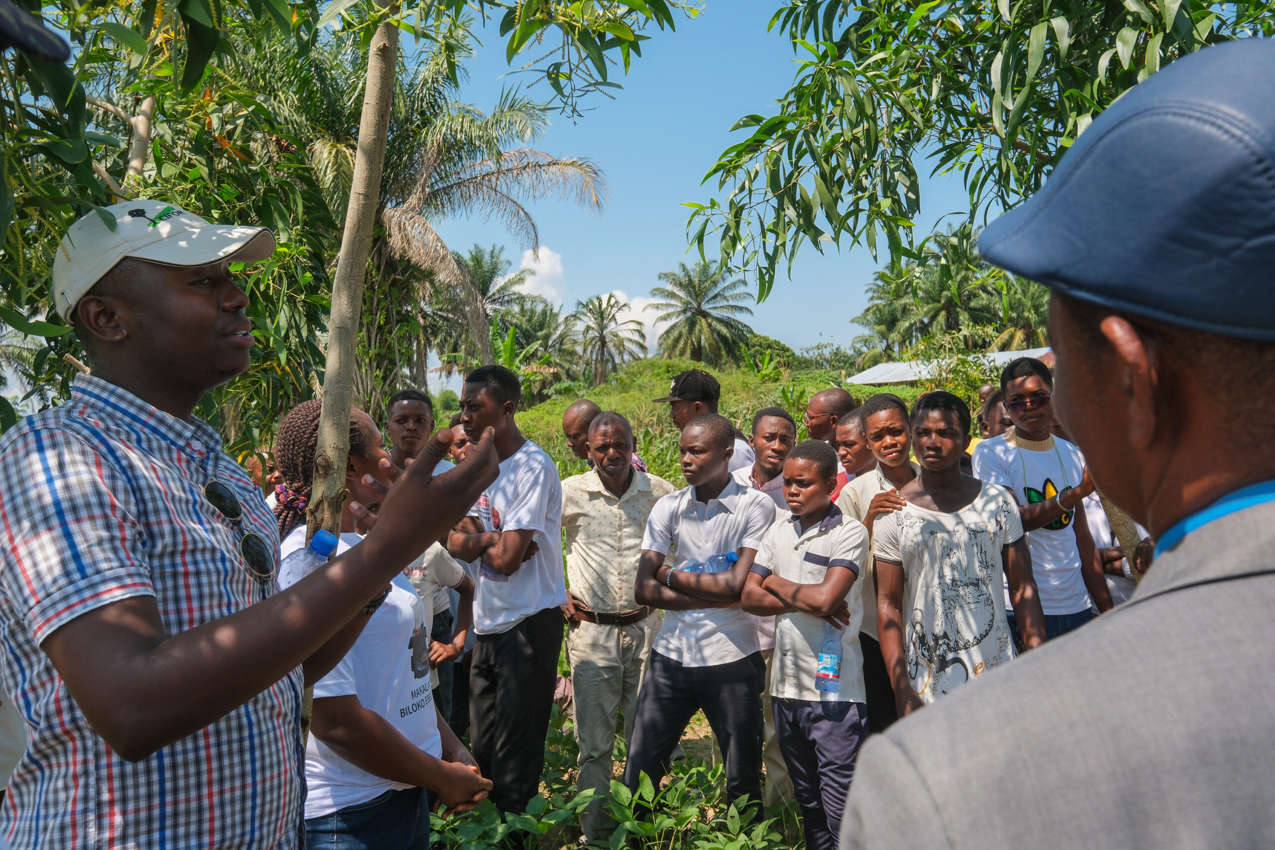
The IMET sessions focused on helping participants improve how they collect, organize and interpret the data needed to monitor the status of protected areas.
“Through this tool, they can easily identify gaps and make informed decisions on how to address prevailing problems so as to improve the effective management of protected areas that are critical for conserving Africa’s biodiversity and ecosystems,” says Leonidas Nzigiyimpa, a renowned IMET coach under RACEGAP.
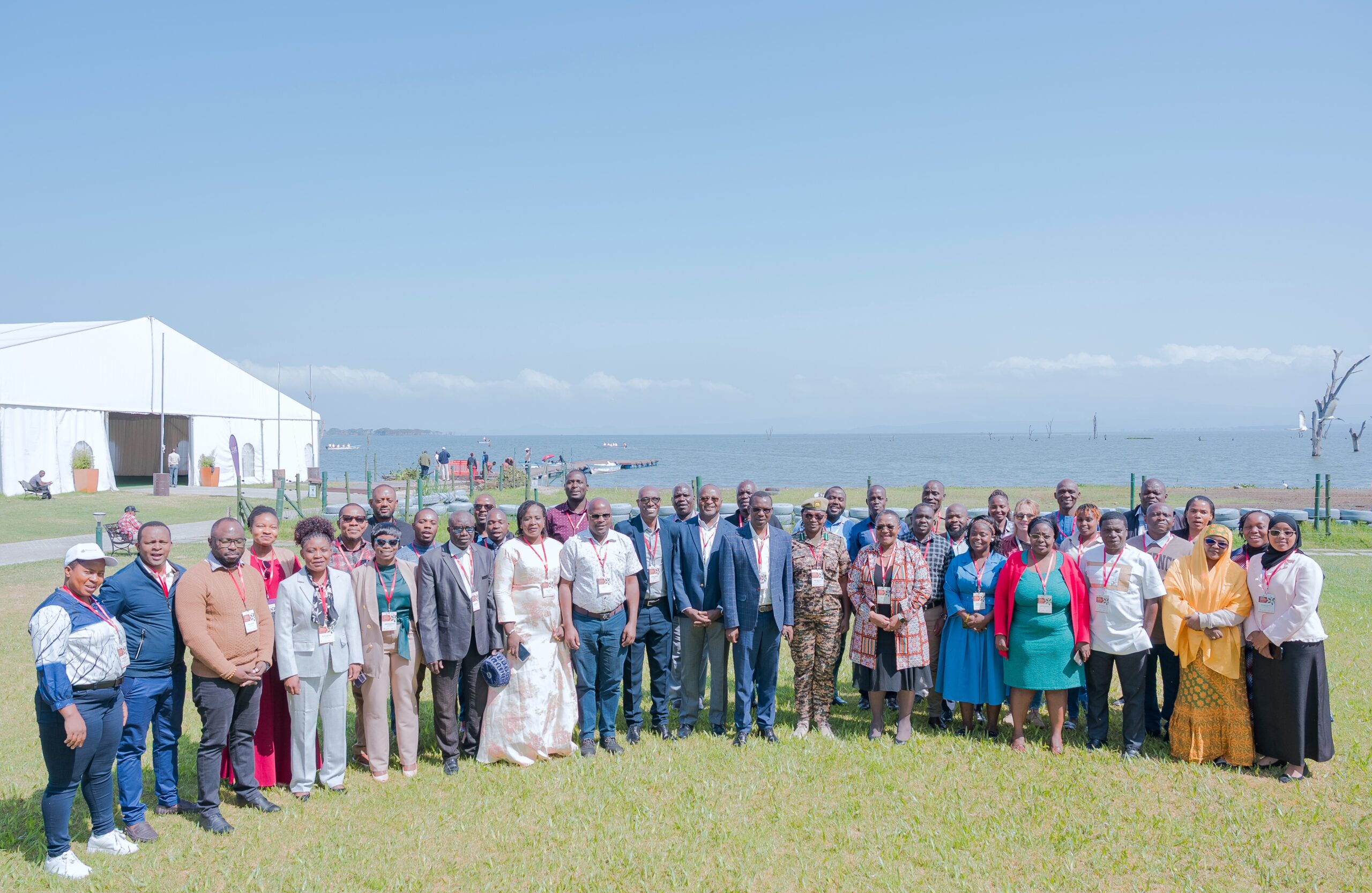
Photo by Kelvin Muchiri / CIFOR-ICRAF.
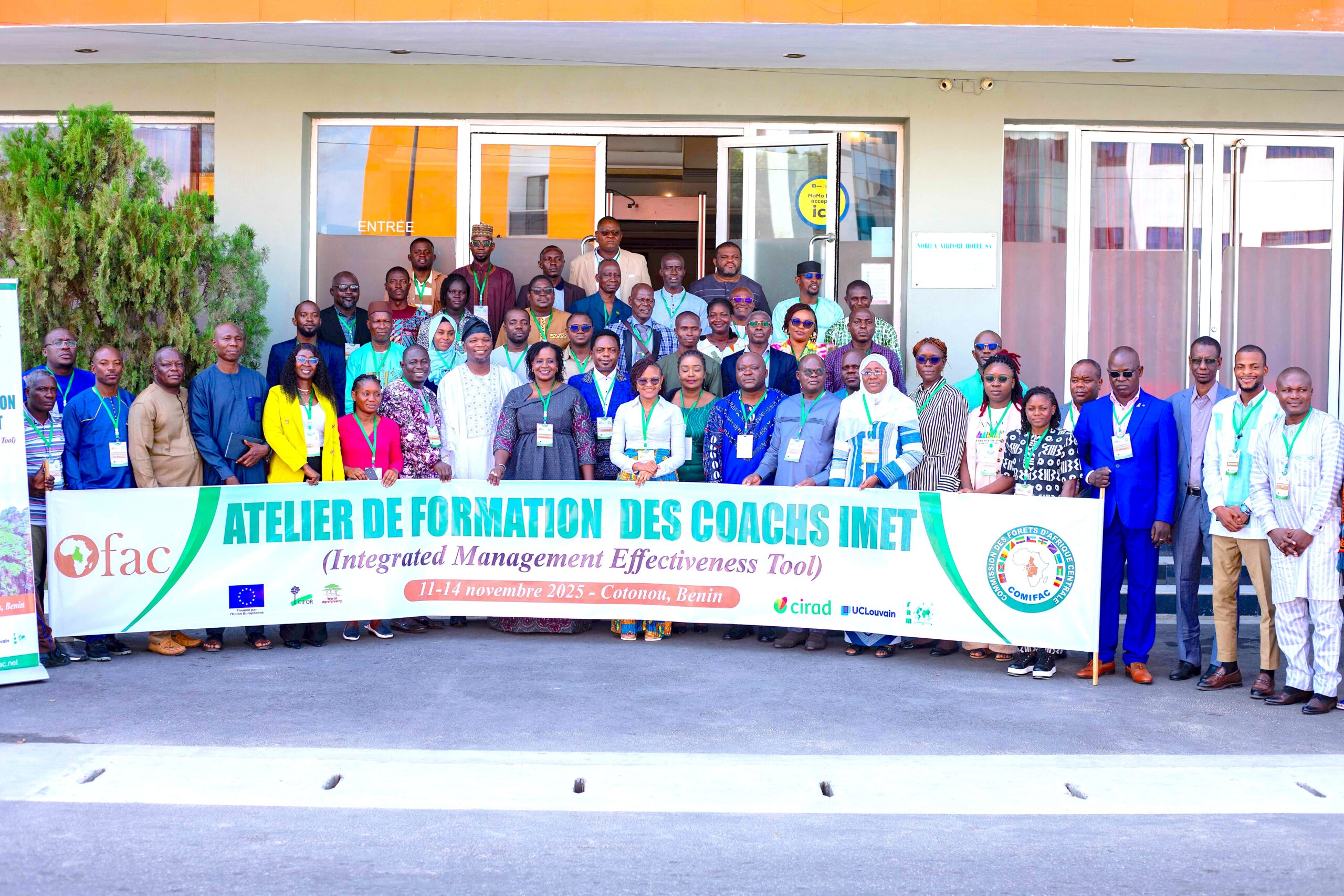
Photo by Kelvin Muchiri / CIFOR-ICRAF.
The programme also trained selected participants to become coaches themselves.
“The trained participants will now continue building capacity within their organisations and countries. This approach will ensure continuous data collection, enabling us to monitor the status of our protected areas and ensure they are well managed,” says Ya Cor Ndione, RCOE project manager for West Africa.
“The more coaches we have, the more people will be trained to use IMET confidently and consistently. This creates a strong network of practitioners across Africa who can generate reliable data and support better decision-making for protected area management,” says Douglas Bwire, RCOE project lead for Eastern and Southern Africa.
IMET is expected to help countries monitor their protected areas more consistently.
Photo by Kelvin Muchiri / CIFOR-ICRAF
A major benefit of IMET, notes Vincent Obanda, principal research scientist at the Wildlife Research and Training Institute in Kenya, is its potential to harmonise data collection across the continent.
At the moment, countries use diverse tools and approaches, and some lack updated or comprehensive datasets. Currently, data collection remains uneven. Some countries have mapped their protected areas, while others have not. Some have recent data while others rely on outdated figures, making comparisons difficult. The tools used for the mapping exercises and data collection also vary, making it hard to compare trends across countries.
“Through IMET, we now have a reliable tool that can be used across the region. This enables us to compare data from all sites and ensures that African countries move in the same direction when managing protected areas that are critical for conserving our rich biodiversity and ecosystems,” he says.
A continent of interconnected ecosystems
Africa’s biodiversity does not always follow national borders. In East Africa, the Maasai Mara National Reserve in Kenya and the Serengeti National Park in Tanzania form a single ecological system, with wildebeest and other wildlife moving freely across the savannah.
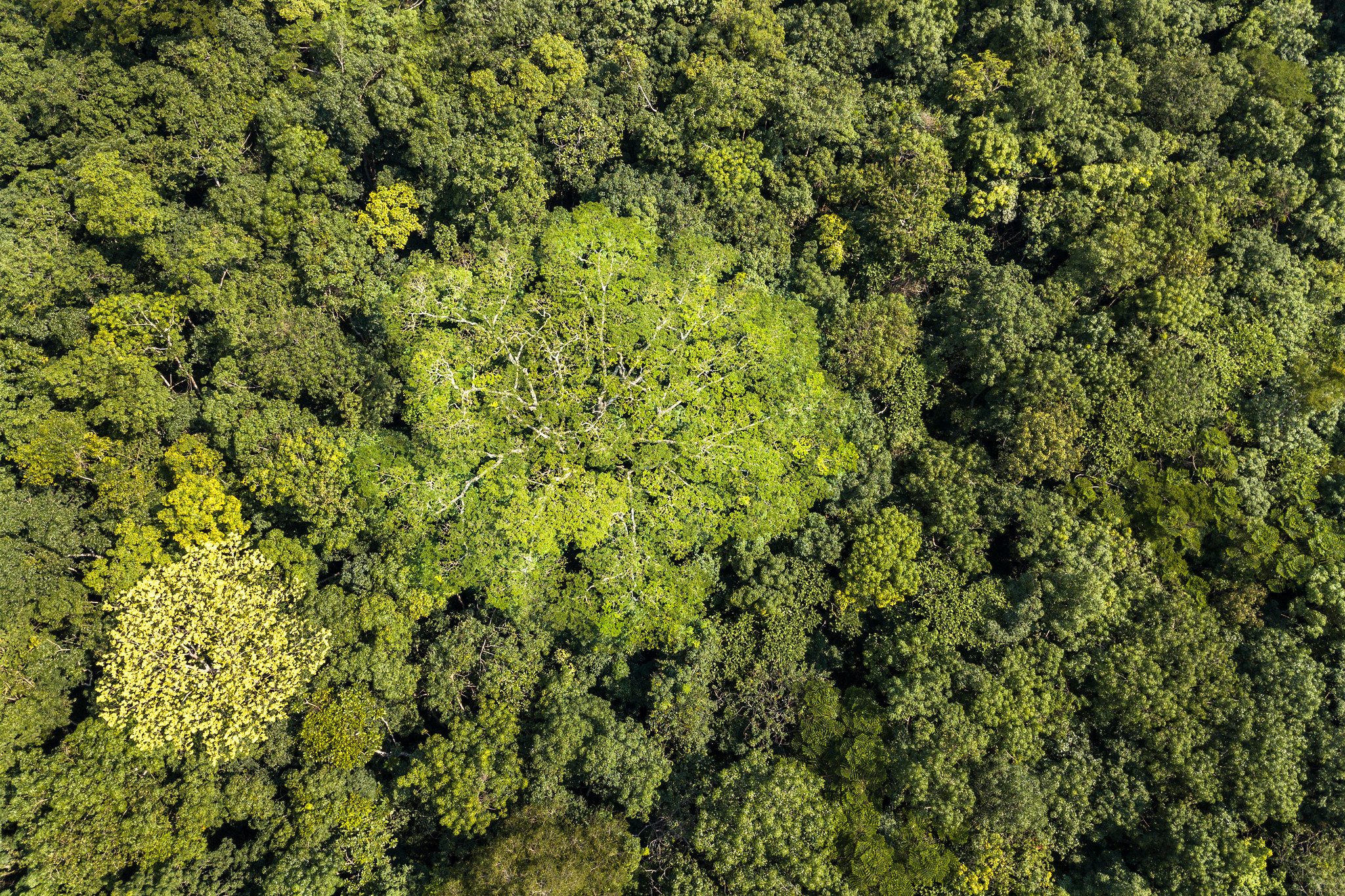
In Central Africa, the Congo Basin forest spans six countries and acts as one of the planet’s most important natural carbon sinks. Forests in the region store more than 90.9 billion tonnes of carbon and provide over 10 percent of the global climate regulation function delivered by tropical forests, according to a recent World Bank report.
“This is why we cannot afford to have disjointed efforts in managing our protected areas. Neglect in one region will have far-reaching consequences for the entire continent and even the globe,” says Amudavi.

From information to policy
Minang notes that the IMET technology arrives at a critical time. Climate change, rapid population growth, land-use change and pressure on natural resources are straining ecosystems across the continent.
“We will not stop at data collection and analysis. The next step is to take this information back to our governments so they can see the immense value of these ecosystems, understand the threats and enact effective policies to ensure the sustainable management of protected areas,” he says.