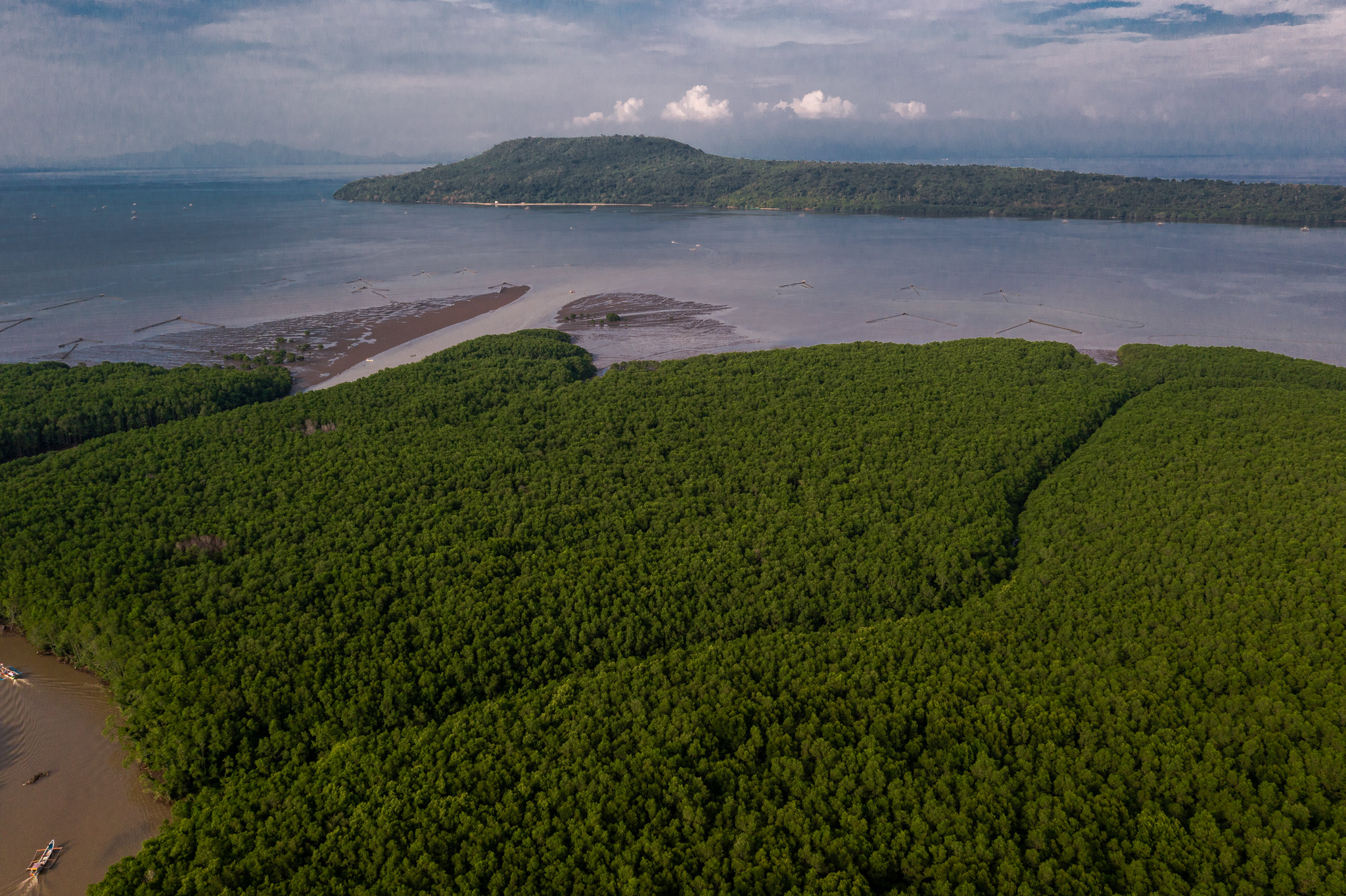
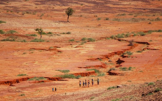
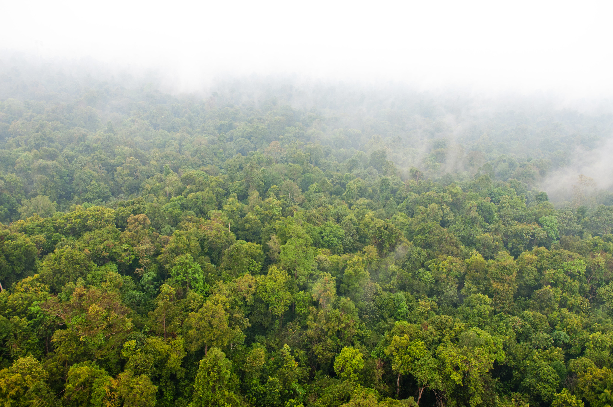
Over recent decades, the Southeast Asian region has faced persistent challenges from large-scale vegetation and peatland fires. These events have caused local and transboundary haze pollution, high carbon emissions and significant burned areas.
To address the issue, the Association of Southeast Asian Nations (ASEAN) has developed key strategic documents, including the ASEAN Agreement on Transboundary Haze Pollution (AATHP), the Second Roadmap to Haze-Free ASEAN 2023-2030, and the Second ASEAN Peatland Management Strategy (APMS) for 2023-2030. These serve as essential guides for initiatives aimed at establishing a haze-free region.
Yet while fire occurrences have long been monitored remotely, more accurate and consistent measurement of burned areas is crucial for effective fire management and sustainable land use. There is currently no unified approach to ensure regular and comparable mapping across the region.
To fill the gap, scientists in the region have produced the first Guideline on Burned Area Mapping and Estimation in Southeast Asia. The publication provides a practical toolkit for policymakers, researchers, and practitioners to improve burned area mapping and fire management. The guideline development was led by the Center for International Forestry Research and World Agroforestry (CIFOR-ICRAF) under the Measurable Action for Haze-Free Sustainable Land Management in Southeast Asia (MAHFSA) Programme with input from ASEAN member states, ASEAN Secretariat and experts from Indonesia, Thailand and Lao PDR, as well as international experts.
Forests News spoke with two members of the drafting team— senior associateMichael Brady and Yenni Vetrita, senior researcher at Indonesia’s National Research and Innovation Agency (BRIN) —to learn more about the guideline and its potential to empower stakeholders for meaningful action against wildfire in the region.
Forests News (FN): What is the Guideline on Burned Area Mapping and Estimation in Southeast Asia, and what is the background behind its creation?
Michael Brady: The guideline is now an official ASEAN document endorsed by the Committee under the Conference of the Parties to the ASEAN Agreement on Transboundary Haze Pollution (COM AATHP). It is designed to help countries that have not yet started this work, while also supporting countries such as Indonesia to use it for training at the provincial level or to assist their neighbours.
It’s not just a technical “how-to” manual for specialists. It outlines how to set up a national burned area mapping programme, including what resources and data are needed to sustain it over time.
One of the weaknesses of burned area mapping was that it was quite expensive, mainly because it required ground truthing, often in remote and hard-to-get-to locations. While some on-site post-fire observations are still needed, burned area verification can now be primarily done using high-resolution satellite imagery, with spatial resolution down to less than a meter. With that kind of detail, you can clearly see evidence of burning—scorched vegetation, ash, smoke, even flames in some cases—without having to visit every site in person.
This shift has reduced the cost of verification and validation significantly and made the process more systematic. It’s a bit technical, but it’s an important milestone—and it’s helping make burned area mapping more affordable and more reliable across the region.
Yenni Vetrita: Burned area mapping and estimation in Southeast Asia is critically important because the impacts of fire can be significant—something we experience directly in Indonesia. Mapping isn’t just about identifying fire locations; it also provides essential information for estimating losses, including emissions released, such as those from peatland areas.
The challenge in Southeast Asia is that fires often vary in scale and purpose—ranging from large wildfires to smaller, controlled burns for land use. Frequent cloud cover, limited accessibility and varied land use across the region make ground-based monitoring challenging and often inefficient.
That’s why satellite-based approaches are so valuable. They offer consistent, timely, and wide-scale observation, supporting better fire response, emissions tracking and long-term land management across the region.
FN: How does the guideline help manage and mitigate wildfire impacts?
Yenni Vetrita: The guideline helps Southeast Asian countries manage and reduce the impact of wildfires by providing a clear and consistent approach to mapping and reporting burned areas. It is designed for a wide range of users — policy makers (such as ministries of forestry and environment), land managers and researchers — to ensure the data leads to concrete action on the ground.
This consistency supports faster response, better planning and more accurate estimates of losses and emissions — especially important in fire-prone regions like ours. It also promotes standardized reporting, so data can be used not just nationally but also for regional cooperation, including addressing transboundary haze.
Michael Brady: One reason we developed this methodology is that for the past 30 years — since the major fires in southern Southeast Asia — fire detection has mostly relied on “hot spots.” These come from thermal satellite imagery, where a hot spot is recorded when the temperature in a pixel exceeds a certain threshold and fire is assumed to be present.
But this is only an indirect measurement. It does not provide enough information about the area burned or the size and severity of the fire. Burned area mapping, by contrast, quantifies the number of hectares burned at different scales, ultimately providing a national-level annual total.
With that information, you can also assess what types of land cover or fuel have burned — such as forest or grassland — by overlaying other datasets. This creates opportunities for a much broader range of analysis.
FN: Where is the guideline primarily being put into action and how does it address the unique challenges faced in Southeast Asia?
Yenni Vetrita: The guideline is primarily designed for use across ASEAN, building on applications in Indonesia and Thailand, where national and sub-national burned area mapping efforts are already underway.
Wildfires in Southeast Asia come with unique challenges: persistent cloud cover, scattered small-scale fires often linked to land use practices (e.g., agriculture activities) and different fire types — such as dryland fires in Thailand and peat fires in Indonesia. These conditions make traditional ground-based monitoring difficult and less effective.
What makes the guideline especially relevant is its flexibility. It encourages the use of free satellite data such as Landsat and Sentinel-2, recommends radar imagery to overcome cloud cover and supports both manual and automated methods depending on local resources. It is not a one-size-fits-all model, but tailored to the region’s complexity.
Michael Brady:Countries like Indonesia are already doing burned area mapping. Other countries, like Malaysia and Thailand, are also using similar methods, but not yet on a routine, operational basis; we’d really like to support them in moving toward that. Some countries, however, aren’t doing it at all and tend to rely on global burned area products instead. These can be useful for large-scale assessments but are too coarse to be effective at national or sub-national levels.
We strongly recommend that all countries begin producing their own maps. The process is not overly complex. The guideline does include chapters on quality control and validation—which are advanced steps—but the basic mapping is within reach. Most countries already have trained remote sensing specialists; what is often missing is a structured programme or mandate to produce maps regularly.
FN: Why is it so important to have a consistent method for burned area mapping across the region?
Michael Brady: One reason for developing the guideline was the experience with hot spots, where different jurisdictions used different temperature thresholds. That meant fire counts were often inconsistent.
With burned area mapping, we had the opportunity to start fresh and promote a uniform approach from the outset. ASEAN is a relatively tightly organized regional body and once a guideline is endorsed at that level, there is a strong chance it will be adopted and applied. That creates a strong incentive to develop agreed-upon approaches.
The main goal is to support countries in producing credible, national-level, annual burned area figures. These numbers are essential not only for operational fire management but also for carbon accounting and greenhouse gas reporting. A consistent method ensures data are comparable and defensible across the region.
FN: How will the guideline be shared and implemented across regions and among stakeholders?
Michael Brady: Developing the guideline took more than two years and included workshops with all ASEAN countries and several international experts. The content was discussed, revised and eventually endorsed by ASEAN representatives.
It is now available on the ASEAN website. Promotion and uptake will mainly be the responsibility of the ASEAN Secretariat, though CIFOR will also share it through our networks and support training where appropriate. Going forward, we encourage countries themselves to lead training and implementation.
Yenni Vetrita: Training and workshops at the local government level are especially important. In Indonesia, we have actively involved local authorities, teaching them how to apply these techniques. This ensures that critical fire information is gathered closer to the source, which allows faster and more effective decision-making. When local teams are equipped with the right tools and knowledge, fire management becomes more responsive, more coordinated and ultimately more impactful.
FN: Any final thoughts?
Yenni Vetrita: Mapping burned areas across a vast and diverse country like Indonesia has never been easy. Fire regimes vary widely from one region to another, but we recognised early on that consistent and reliable mapping is essential.
We recently published a scientific article describing our technique. The method may not seem highly sophisticated to some, but it is relatively easy to apply—even for countries that have not done burned area mapping before. Indonesia learned by doing. Over time, we refined the process, documented it, and developed a standardized procedure.
Having a clear standard—such as the one outlined in this guideline—has boosted our confidence. No single method is perfect. There will always be limitations, whether from data, tools, or methods. But a transparent and reproducible approach gives us something solid to rely on.
Equally important is how we share this knowledge. Training and exchange should take place not only between countries but also with local governments and communities. Indonesia is actively scaling up this capacity at the local level, because we believe that building skills across all layers—not just central agencies—raises awareness, improves early warning, and strengthens regional readiness.
About the experts
Michael Brady is a senior associate at CIFOR-ICRAF in Bogor. A tropical forest and peatland specialist, he has researched wildfire behaviour in Southeast Asia since 1985 and has worked on fire monitoring and mitigation globally. He introduced fire danger rating to the region in 1999 and oversaw Canada’s annual burned area mapping in the 2000s.
Yenni Vetrita is a senior researcher at BRIN. Since 2005 she has focused on remote sensing for tropical fires, environmental monitoring and disaster management, particularly in Indonesia’s peatlands and forests. She is also Indonesia’s National Focal Point for the UN-SPIDER Regional Support Office, where she promotes the use of space-based information for disaster management.
Acknowledgements
This Q&A was developed with the support of Angga Pratama Putra as part of the Measurable Action for Haze-Free Southeast Asia (MAHFSA) programme, a joint initiative between ASEAN and the International Fund for Agricultural Development (IFAD) that supports efforts to reduce transboundary haze pollution and its impact in Southeast Asia.
This article was realised thanks to the support of the ASEAN Secretariat‘s Environment Division, as well as the contributions of our experts.