

mapping
-
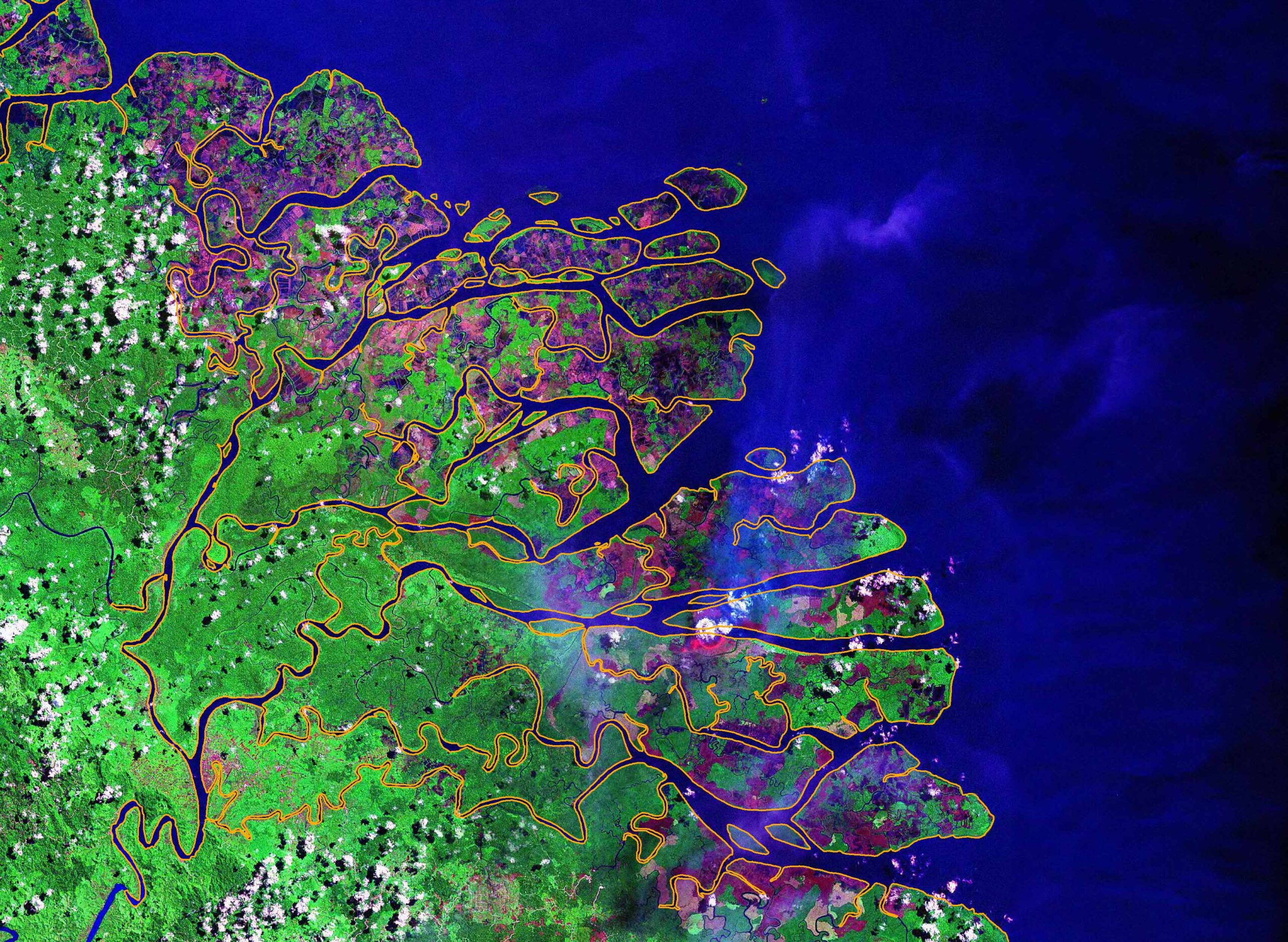
Satellites can mislead: policy makers beware!
The loss of old-growth tropical forest area through fire and agricultural expansion has for decades challenged many of the sustainability…
6 min read -

Watchers of forests – what news from above?
When new data on global forests are published, it is always a grand opportunity to update analyses of global, regional…
6 min read -
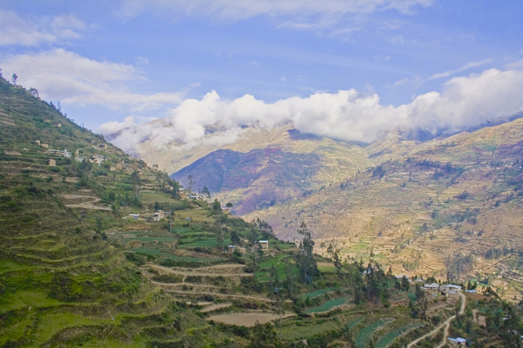
On ‘landscape approach’, scientists search for meaning
BOGOR, Indonesia—It’s an increasingly prominent way of thinking about land use that has yet, somewhat usefully, defied easy definition. Now,…
4 min read -
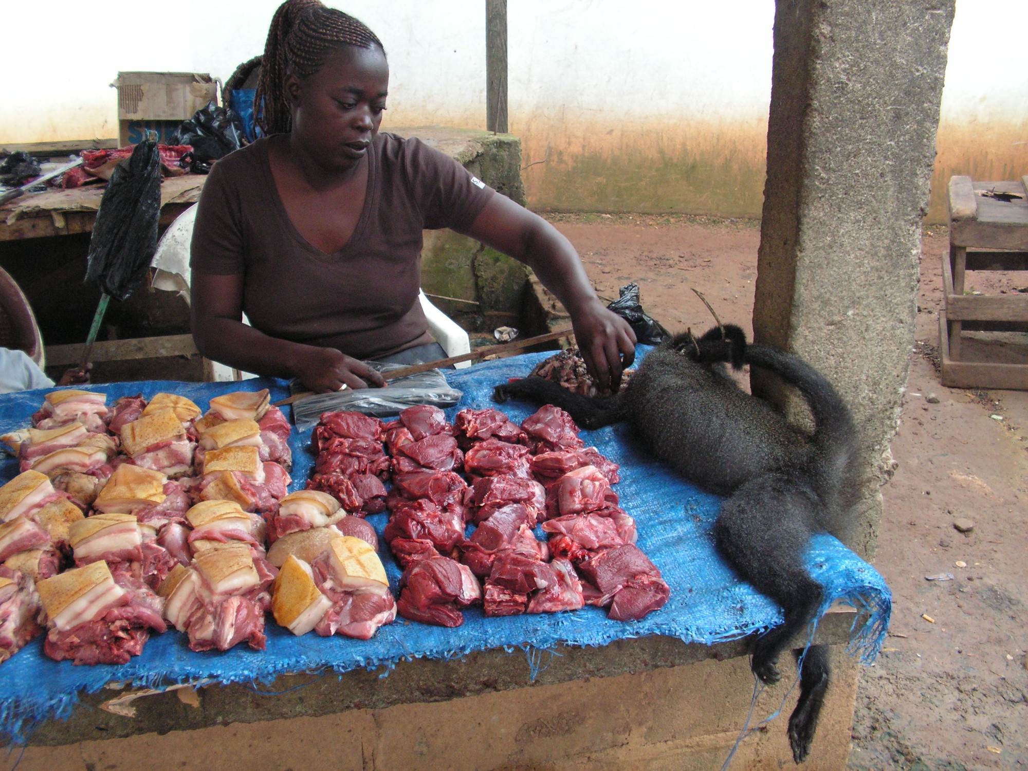
Ambitious study maps species’ vulnerability to overhunting across Central Africa
BOGOR, Indonesia–An innovative new model has mapped the potential sustainability of bushmeat hunting across the Congo Basin, shedding light on…
9 min read -
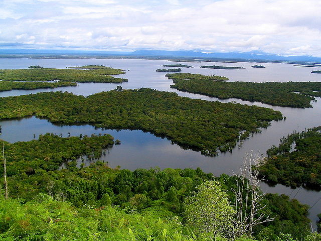
Project ‘discovers’ uncharted forests—and charts new direction in land-use planning
BOGOR, Indonesia — Whereas magicians use mirrors to make huge objects seemingly disappear, researchers in Indonesia are developing maps to…
6 min read -
Coming to terms with terminology: Seeking ‘gray literature’ on landscapes
NAIROBI, Kenya — What on Earth does “integrated landscape management” mean? If you ask 78 different scientists, you just might…
4 min read -
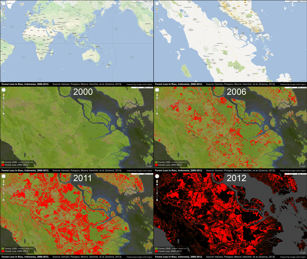
Use Hansen high-res forest cover maps wisely, experts say
At a glance: New paper by Hansen et al., can visualize changes in forest cover at 30m resolution Can help…
3 min read -

Q+A: Emissions hotspots maps provide grist for climate change strategies
Maps pinpointing greenhouse gas emissions hotspots can help improve land management in countries preparing climate change mitigation strategies, a scientist…
6 min read -
Q&A: Land-use planning in northern Papua
BOGOR, Indonesia (14 December, 2012)_Researchers working in northern Papua are helping to incorporate local community perceptions into development activities, using…
5 min read -
Paving the Amazon: Study helps predict potential deforestation rates along major highways
BOGOR, Indonesia (22 March, 2012)_ CIFOR scientists are helping to estimate the extent of deforestation that accompanies road paving in…
6 min read -

Indonesia to release improved moratorium map this week, chair of REDD+ task force says
DURBAN, South Africa (8 December, 2011)_The Chair of Indonesia’s REDD+ task force said that the country’s Ministry of Forestry will…
3 min read -
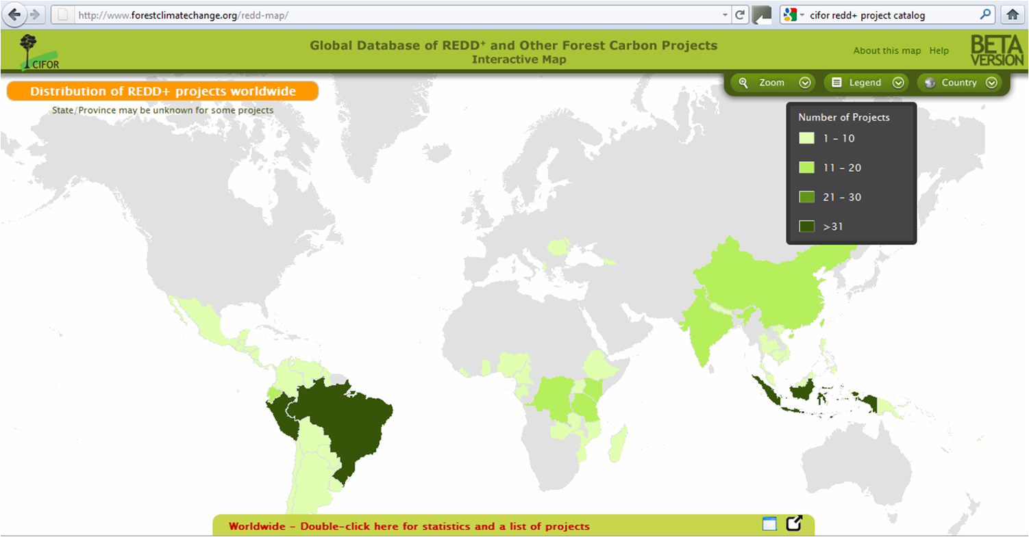
New CIFOR map gives first global overview of REDD+
DURBAN, South Africa (3 December, 2011)_The Center for International Forestry Research (CIFOR) is putting REDD+ on the map with the…
4 min read